
Adam Chrzanowski Becomes Honorary President of Peruvian Congress on Geodesy and Geomatics
Organizers of a new Peruvian Congress on Geodesy and Geomatics have asked Dr. Adam Chrzanowski, Professor Emeritus in the Department of Geodesy and Geomatics Engineering at UNB, to become the Honorary President of the new Congress.
Dr. Chrzanowski’s link to Peruvian geodetic engineers dates back to 1975 when he and his research group at UNB initiated research on tectonic ground movements in the area of the catastrophic earthquake of 1970 which caused the collapse of a portion of 6 000 m Mount Huscaran in the high Andes. The resulting avalanche of rocks and ice buried two towns, killing over 40 000 people. Several UNB graduate students were involved in the challenging field surveys and analysis until 1982. The high precision surveys of ground displacements across active geological faults were conducted at elevations exceeding 4 000 m.
The recognition of Dr. Chrzanowski’s contributions to geodetic engineering by the Peruvian Congress on Geodesy and Geomatics is highly appreciated.
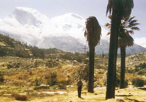 Mount Huscaran and the site of one of the buried towns.
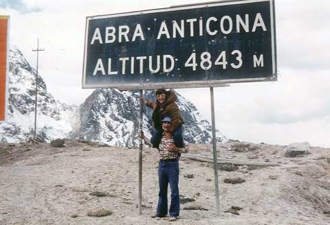 Dr. Chrzanowski and his wife, Dr. Anna Chrzanowski, at a mountain pass on the way to one of the survey sites in 1979.
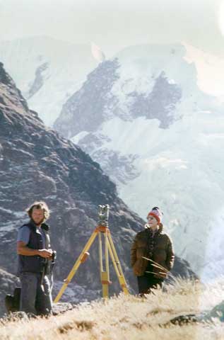 Huaytapallana survey site in the High Andes.


Congratulations on naming Dr. A. Chrzanowski Honorary President of the event. He is a renowned scientist. I have the honor of having his friendship since 1976 aproximately. ¿ Why not
invite him to guide the formation of Geodesists in our country Perú ?.
Raul Choque
Mine Surveyor