

Jake MacLean
Jake is a geospatial professional who is passionate and using geospatial technology for social benefit. He has an Honours Bachelor of Science in Earth Science from Carleton University and a Graduate Certificate in GIS from Algonquin College. Jake is currently looking for new opportunities to bring his passion and enthusiasm to creative GIS projects and companies.
Articles by Jake MacLean

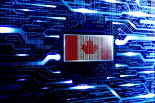
How the CanSLAM can: Building Canada’s National SLAM Circuit at Lidar CANEX 2024
In a dynamic and informative session at LiDAR CANEX 2024, Alex Hill-Stosky shed light on the groundbreaking initiative known as…

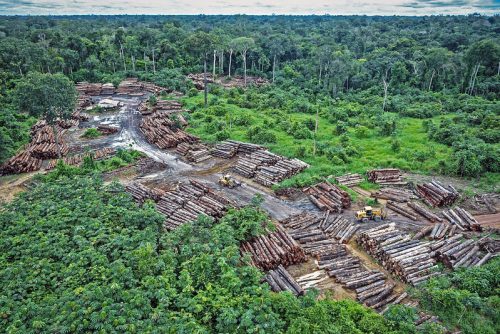
Exploring Geospatial AI: Understanding and Preventing Deforestation
Global forests are one of our most important resources, not only for the service they provide as the lungs of…
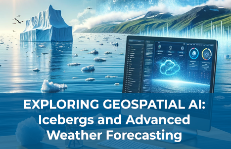
Exploring Geospatial AI: Icebergs and Advanced Weather Forecasting
AI is everywhere. ChatGPT made headlines with its initial release in November 2022, and just over a year later here…
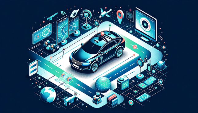
Geospatial Technology Guiding the Development of Autonomous Vehicles
Driver-less cars, also known as autonomous vehicles or self-driving cars, are vehicles that are equipped with sensors, cameras, and other…
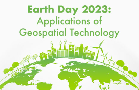
Celebrating Earth Day with Conventional and Unconventional Applications of Geospatial Technology: Part 2
3 Unconventional Earth-friendly Applications of Geospatial Technology After talking about some of the more conventional methods of implementing geospatial technology…
Celebrating Earth Day with Conventional and Unconventional Applications of Geospatial Technology: Part 1
With the passing of Earth Day this weekend, GoGeomatics Canada would like to celebrate our planet and highlight some of…

Digital twins and sustainable mining: A look at 3D modelling with Leapfrog Geo
From underground infrastructure mapping to smart cities preparing for natural disasters, digital twins are becoming an important part of geospatial…
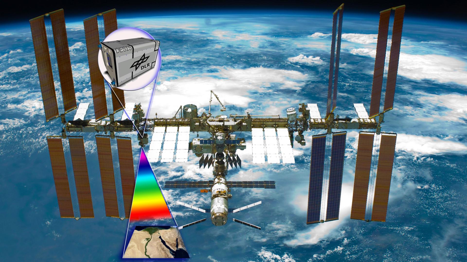
Hyperspectral imagery applications in mineral exploration
Remotely sensed data has been providing insights into how the world works for decades now. From the first implementation of…

Ukraine at War: Impacts of Geomatics, Geospatial & Earth Observation Technologies
Russia’s invasion of Ukraine on February 24, 2022, sent shockwaves through the global community. As tension escalated in the months…
2021’s Most Exciting Canadian Geospatial Companies
GIS and geospatial technology have come into the public eye more frequently over the last year due to the COVID-19…

GoodScore.City: Comparing the Environmental Health of Canada’s Downtown Cores
The Canadian Urban Environmental Health Research Consortium (CANUE) is a group dedicated to understanding urban living and its impacts on…
How Remote Sensing Applications Will Help Put a Price on Carbon
Quantifying our Resources Advances in remote sensing are pushing forward our abilities to quantify natural resources. As satellites improve, offering…
