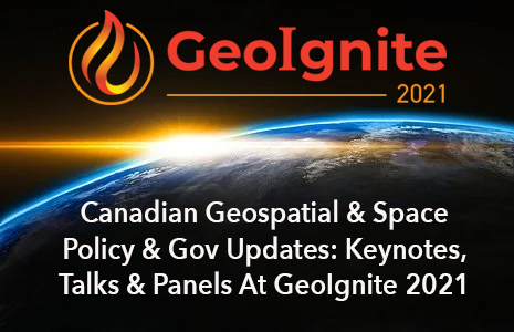
Canadian Geomatics & Space Policy & Gov Updates: GeoIgnite Keynotes, Talks, & Panels
If your area of interest is Geospatial and Space Policy along with updates from government, then GeoIgnite has plenty of talks for you! From Federal to Provincial, there’s a lot of exciting and informative news and insights to share at this year’s conference. Here are the key panels you won’t want to miss.
GeoIgnite is Free to Everyone in the Canada Geomatics Community and will be presented live in English and French for April 21st to the 23rd.

April 21 at 3:30 EST: News from the Budget: The Federal Government of Canada Geospatial Director General’s Panel
Éric Loubier, the Director General for the Canada Centre for Mapping and Earth Observation, is joined by several other panelists to discuss Canada’s involvement in satellites, data, mapping, and more.
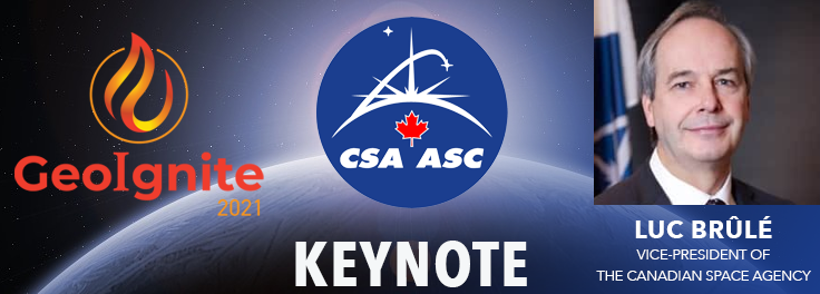
April 22 at 10 EST: Keynote: Address by Vice-President of the Canadian Space Agency
VP Luc Brulé will go over oversight for CSA program sectors, including Space Utilization, Space Exploration, and Space Science and Technology. This keynote will be fascinating!
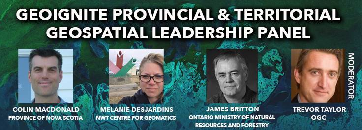
April 23 at 2:45 EST: Canada’s Provincial & Territorial Geospatial Leadership Panel
Four of Canada’s government leaders in the sector will discuss topics related to jurisdiction issues, emergency response challenges, data opportunities, and more in regards to provincial and territorial geospatial relationships. Ask them about the rollout of RCM data to the provinces.
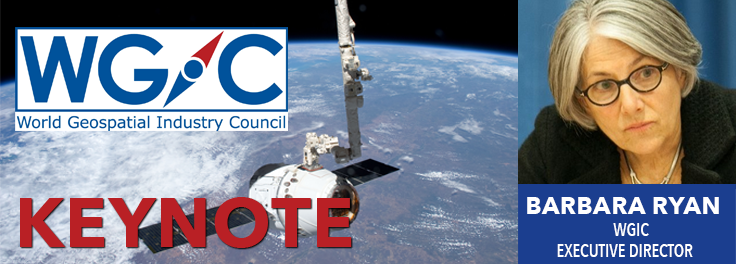
April 23 at 10:30 EST: Keynote: Barbara Ryan – Executive Director of the World Geospatial Industry Council
Yes, this is a Canadian conference, but Canada plays a large role in the world’s geospatial advancements. Barbara Ryan, the Executive Director of the WGIC, will share great insights on the organization.

April 27 at 11 EST: ISO/TC 211 – Q&A and membership opportunities in the Canadian national Mirror Committee
Want to know more about the ISO/TC 211? This talk will update you what the ISO committee does and why it is important. A Q&A is included where you can learn from the committee itself about Canada’s involvement.

April 22 at 11:30 EST: Fire Side Chat with Steve Liang, Founder & CTO of SensorUp & Dr. Nadine Alameh the OGC’s CEO
The Internet of Things is all around us! Steve Liang, the CTO founder, and Nadine Alameh, the Open Geospatial Consortium CEO, have a lot to say on this concept and what it means for the field and insights useful to government policy wonks.
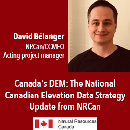
April 21 at 11:30 EST: Canada’s DEM: The National Canadian Elevation Data Strategy Update from NRCan
The future of Canada’s DEM is bright. This talk from National Resources Canada covers the National Elevation Data Strategy update and more. Learn about HRDEM, the Topographic Data Cube, and the Federal Airborne LiDAR Data Acquisition Guideline.
April 22 at 2 EST Talk: Canadian Council on Geomatics – Fostering collaboration across jurisdictions
This presentation will explore why such a council came to be, the work underway currently, and why its work matters to the Canadian geomatics sector and citizens alike.

April 21 at 2 EST: “Making Corporate Decisions using Geospatial Data and the Power of Location Intelligence!” Agriculture Agri-Food Canada’s Agri-Geomatics Manager – James Ashton
Canada’s agriculture landscape is quite diverse. Join Agriculture and Agri-Food Canada’s Technology Manager James Ashton in exploring how geointelligence plays a part in federal policy decisions related to this.
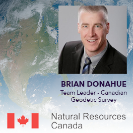
April 22 at 2:45 EST: Canadian Geodetic Survey – Supporting Accurate Geospatial Positioning in Canada
Brain Donahue is a Team Leader for NRCan’s Geodetic Survey. This panel will give insight into this group, the Canadian Spatial Reference System, and how American reference systems can effect Canada’s work.
There’s something for everyone at GeoIgnite 2021, but we know our lineup of policy-related panels is stellar. Registration for this online conference is now open, so get your tickets and don’t miss out on this great opportunity for learning, networking, and more!