Canadian Geospatial Briefing April 18th: 1. Esri Canada program director’s sudden passing; 2. Kanien’kéha mapping project; 3. Indigenous People’s Atlas of Canada; 4. Vernon floodplain maps; 5. Grassland mapping project
Esri Canada’s Program Director killed in small plane crash on March 21st
John Bacon, Program Director in Esri Canada’s Geospatial Infrastructure Department passed away on March 21st after a small airplane crashed near the Brantford Municipal Airport.
We are deeply saddened by the news of John Bacon’s sudden passing, Our hearts go out to John’s family and we are keeping them in our thoughts.
Esri Canada
Read more here
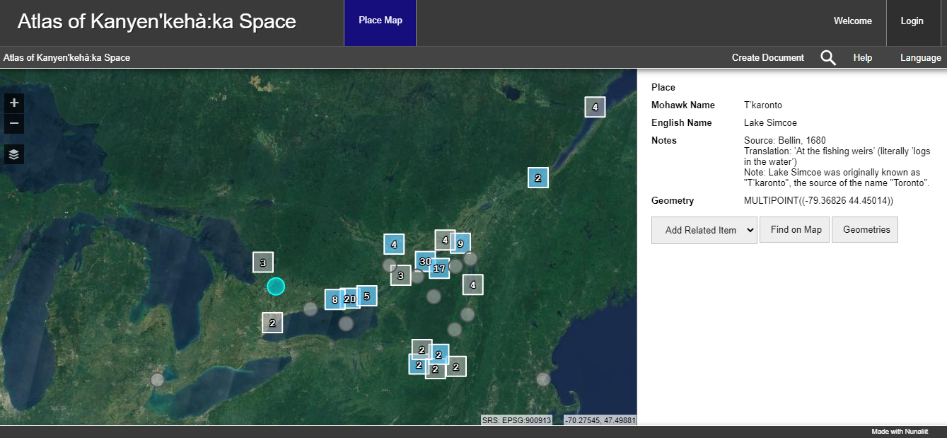
Kanien’kéha mapping project gets funding to move forward
Carleton University researchers work on a language revitalization and mapping research project and produced “Atlas of Kanyen’kehà:ka Space” hosted at MohawkAtlas.org.
The $100,000 funding from the National Indian Brotherhood Trust Fund will help this project thrive.
The purpose of the “Language and landscape” project is to rejuvenate Kanyen’kéha via place name mapping” by recognizing and maintaining the Kanien’kéha words used to describe places.
Read more here
Ground-breaking Indigenous People’s Atlas of Canada (IPAC) program
The Indigenous People’s Atlas of Canada (IPAC) program is created by the Royal Canadian Geographical Society (RCGS) in partnership with five significant Indigenous organizations. This program provides a four-volume print atlas and a gigantic floor map to represent Canada with no colonial borders and narrate the First Nations, Inuit and Métis peoples’ stories.
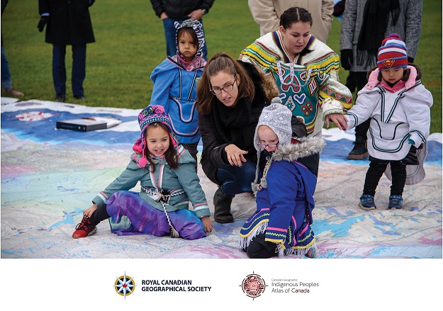
Join RCGS on Saturday, April 23rd 1:00-4:00pm at 50 Sussex Drive in Ottawa to learn how you can help lead change, facilitate learning, and provide opportunities for truth seeking as an IPAC Ambassador in your community.
Read more here
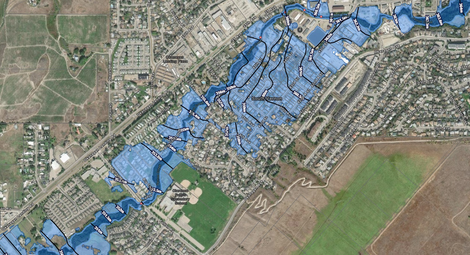
Vernon completes floodplain maps, considers development regulation
The online flood-mapping tool by the Okanagan Basin Water Board is starting to affect B.C.’s Okanagan to be more resilient after the devastating 2017 floods.
According to this, recently, the city of Vernon has produced Vernon’s Flood Story showing the floodplain maps of local creeks. The municipality would like to use these floodplain maps to identify the issues and provide a preparation plan.
The Mayor of Vernon believes the city could identify places where bridges and culverts cause compressions which increases the possibility of flooding.
Read more here
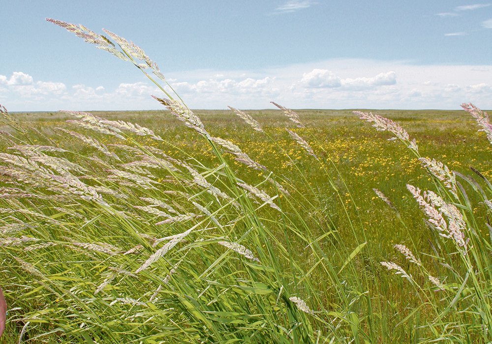
Mapping project seen as solution to grassland loss
According to the Canadian Forage and Grassland Association annual general meeting, there are some concerns regarding the lack of a complete inventory of Canada’s grasslands which are the largest unbroken lots of grasslands on the continent.
Cedric MacLeod, executive director of CFGA believed that this catalogue is required to evaluate the whole extent of the grasslands and more notably, the loss. There is no adequate information about the location and amount of occurring pasture loss.
It seems Satellite imagery provides some solutions to this issue. the Satellite images deliver consistent maps of various landscapes which is improving the grassland classification.
The opportunity and the challenge, at the same time, is to map nationwide grasslands with the highest spatial resolution. Not just mapping with the highest spatial resolution but also providing reasonable accuracy.
Assistant professor in digital agronomy at the University of Manitoba, Nasem Badreldin
CFGA is planning to form an action plan over the next two years.
Read more here