Canadian Geospatial Briefing March 1st – AI helping response to extreme weather; Inukshuk Geomatics celebrating 20 years; Telesat basing Lightspeed broadband operations in Gatineau; CATALYST Microservices – cloud-based earth observation processing; Canadian Coast Guard testing new UAV; GeoIgnite Career Fair April 14th
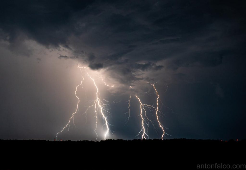
Artificial Intelligence helping respond to extreme weather events
Researchers at the University of McGill are finding new ways to harvest data from Twitter to respond to natural disasters and other extreme weather events. They have been able to train an AI to reduce the “noise” so often found in a Twitter stream to “[allow] them to better assess trouble spots and assess users reactions to extreme weather events.” They hope to provide a tool that will quickly factor out the noise in times of extreme need and quickly identify areas to focus relief efforts. They also hope that the patterns identified will help officials identify effects both on infrastructure and financially during future disasters. To read more about this, check it out here.
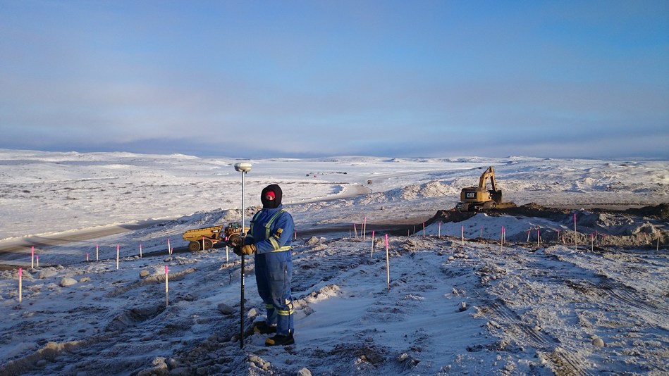
Inukshuk Geomatics celebrates 20-year partnership
Inukshuk Geomatics is celebrating 20 years of partnership with Challenger Geomatics. Based in the Inuvialuit Settlement Region of the Northwest Territories, they have completed many infrastructure projects over the last 20 years with support from local Indigenous partners. Founded out of a desire to ensure Invualuit participation on PetroCanada’s large Mackenzie Delta project, the partnership between Challenger Geomatics and Inuvialuit Development Corporation was created towards the end of the year 2000. It has grown and strengthened over the past 20 years. To learn more about the partnerships and projects that have arisen from it in the past 20 years, click here.
Hire Canada’s top talent: GeoIgnite Career Fair April 14th
Looking to hire or be hired in the field of Geomatics? Well, our career fair is for you! GeoIgnite and GoGeomatics Canada are proud to announce the return of our successful career fair, taking place on April 14th. We bring together some of the most talented professionals in the field along with some of the largest geospatial employers across the country. MDA and NRCan are some examples of past participants and we are excited to announce MDA as a returnee this year. Find opportunities in roles such as software engineer, GIS Analyst, survey assistant and more! If you are interested, head on over to the GeoIgnite website, or click here for more information.

Telesat to operate new satellite network from Gatineau
Ottawa-based Telesat has recently announced plans to support its Lightspeed program out of Gatineau, Quebec. Lightspeed is Telesat’s Low Earth Orbit (LEO) satellite program aiming to provided broadband internet services to rural and remote areas. The Lightspeed program based in Gatineau will create more than 300 local, high-tech, high-wage jobs, with officials hailing it as a boost to the local economy. The satellites will be built in Saint-Anne-de-Bellevue, Quebec, with antennas provided by Canadian Aerospace giant MDA. To find out more about this endeavour, click here.

PCI Geomatics introduces CATALYST Microservices: Earth Observation processing on the Cloud
CATALYST Earth, of PCI Geomatics, has unveiled its new platform for processing earth observation data on the cloud. CATALYST Microservices consists of a library of processing capabilities such as change detection, feature extraction, geometric correction, and many others. CATALYST says this service is built on more than 30 years of client services for extracting and processing image data and meant to offer these same high-quality services through public domain cloud-based services allowing users to achieve results in a fraction of the time it would take if using a distributed server-based system. For more information about CATALYST Microservices, check it out here.

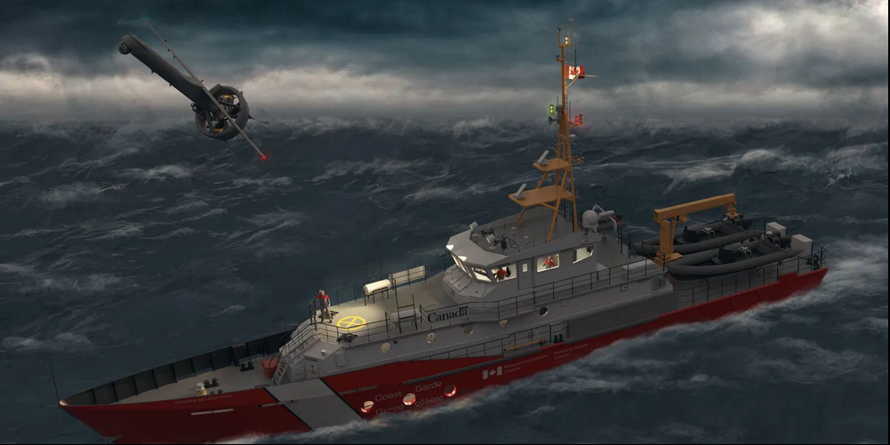
Canadian Coast Guard testing new UAV
The Canadian Coast Guard is testing a new surveillance drone for use in search and rescue operations. The UAV they will be using, the V-BAT made by MartinUAV, features some incredibly innovative features that make it appealing for Coast Guard missions. The UAV can take off and land vertically, looking like a rocket, before it transitions to a more traditional fixed-wing mode for longer-range missions. It also has a range of 130km and can carry multiple sensors. For the testing missions, Kongsberg Geospatial of Ottawa will be overseeing the software and sensors employed by the V-Bat. Kongsberg’s MIDAS system will “[allow] everything collected by the drone, including a live video feed, to be seen by those monitoring the mission.” For more on this, click here.