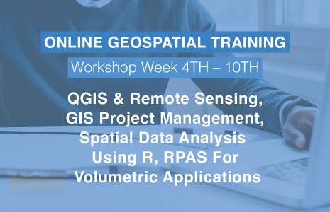
Geospatial Training at GeoIgnite: March 4th to the 14th

GeoIgnite offers a wide variety of training opportunities built on current standards led by leading industry experts.
Upgrade your knowledge and skill sets. We empower our students to succeed using an online platform in a safe and convenient environment.
Online Geospatial Training Opportunities
March 4 to March 14
- Best Practices for GIS Project Planning and Management: March 4th – $350
- Introduction to QGIS: March 7th – $375
- Remote Sensing Applications in QGIS Workshops: March 7th – $350
- Introduction to Spatial Data & Using R as a GIS: March 9th – $375
- Geospatial Job Hunting Seminar: March 9th – $125
- Remotely Piloted Aerial Systems (RPAS) for volumetric applications: March 10th – $350
- Intermediate QGIS: Functions, Forms, and Processing: March 14th & March 15th – $500