International Geospatial Briefing April 25th: 1. Using drones to study forests; 2. US bans anti-satellite missile tests; 3. Anaconda collaboration with Esri; 4. UP42 partners with Nearmap; 5. World’s 1st blockchain geospatial network
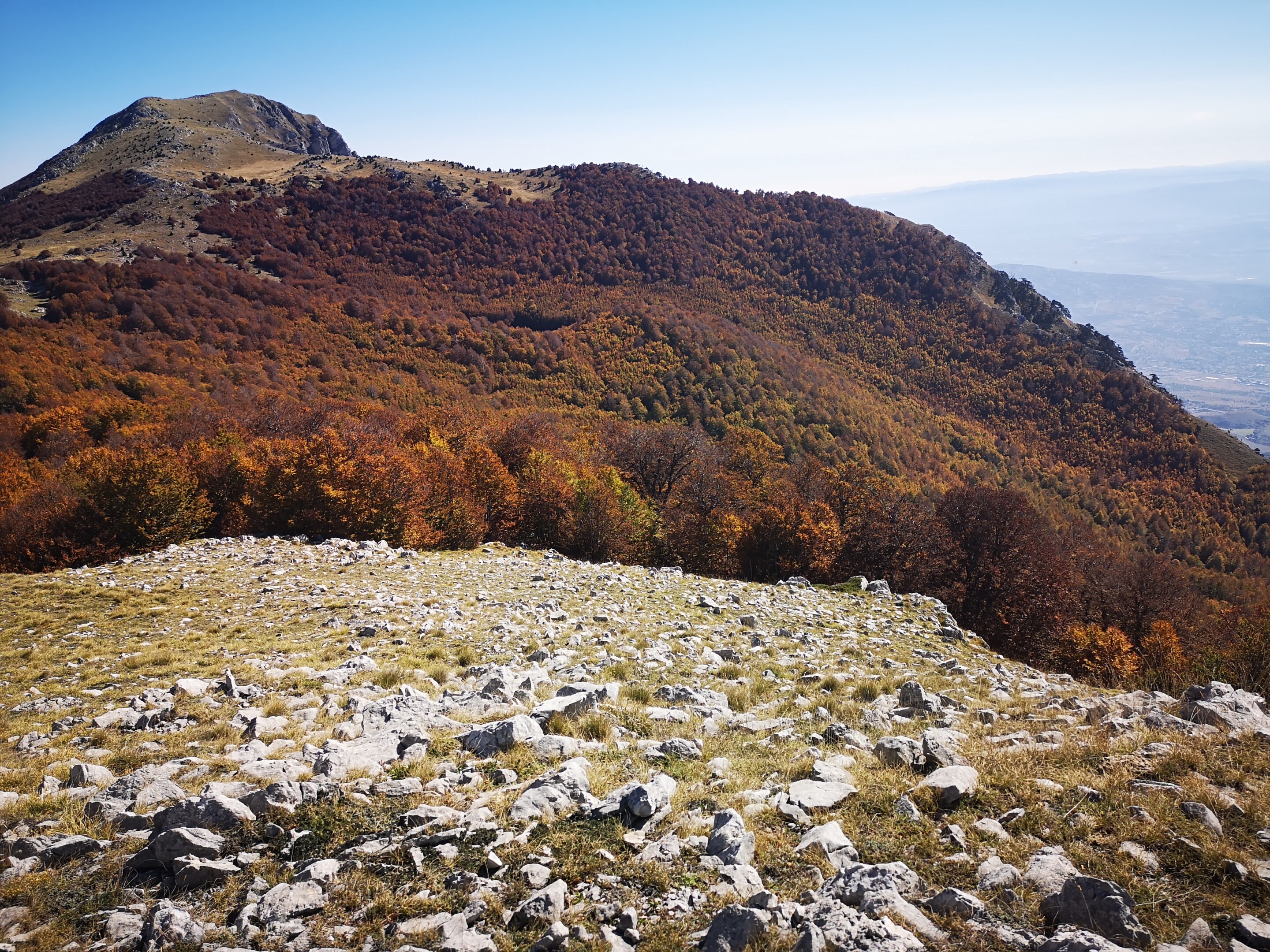
Using drones to study forest canopy in UNESCO world heritage site
A recent study led by researchers at the University of Tuscia and the Mediterranea University of Reggio Calabria found that using unmanned aerial vehicles (UAV) allowed for an easier and advanced way to study the structure of old-growth beech forests. This study demonstrates that these innovative survey methods can lead to a deeper understanding of forest canopy, gap size and distribution, and canopy structure. Examining the structure of old-growth forests can provide key insights into forest integrity and provide pathways for restoration of forest ecosystems.
https://phys.org/news/2022-04-drones-forest-canopy-unesco-world.html
US bans anti-satellite missile tests
The United States has become the first country to announce a ban on missile tests against space satellites. US Vice-President Kamala Harris, who chairs the National Space Council, said such tests were reckless. The US, China, India and Russia have all carried them out and have generated space debris in doing so. VP Harris said it was part of the Biden administration’s strategy to promote responsible use of space. She said stopping the direct ascent anti-satellite (ASAT) missile testing will safeguard satellites in low-Earth orbit – and she urged other nations to follow suit.

https://www.bbc.com/news/technology-61151141
Anaconda Announces Collaboration with Esri, Setting the Enterprise Standard for Python Across the Geospatial Community
Anaconda Inc., provider of the world’s most popular data science platform, announced a collaboration with Esri, the global market leader in geographic information system (GIS) software, location intelligence, and mapping. This collaboration supports Esri and the geospatial community by providing users of Esri’s software with preloaded geospatial packages for use with Python.
UP42 partners with Nearmap to offer high-resolution aerial imagery of US, Canada, ANZ
Nearmap’s high-resolution aerial imagery of major urban areas in the United States, Canada, Australia, and New Zealand will soon be available through UP42. The initially it will include the Nearmap vertical imagery, which is updated multiple times each year at 5.5- to 7.5-cm (2.2″to 3″) spatial resolution for more over 1740 urban areas in the US and over 100 in Australia.

UP42 customers will find the Nearmap Vertical images, as well as Digital Surface Models and 3D data sets, deliver consistent spatial detail, confident measurements, and frequent updates for any geospatial application.
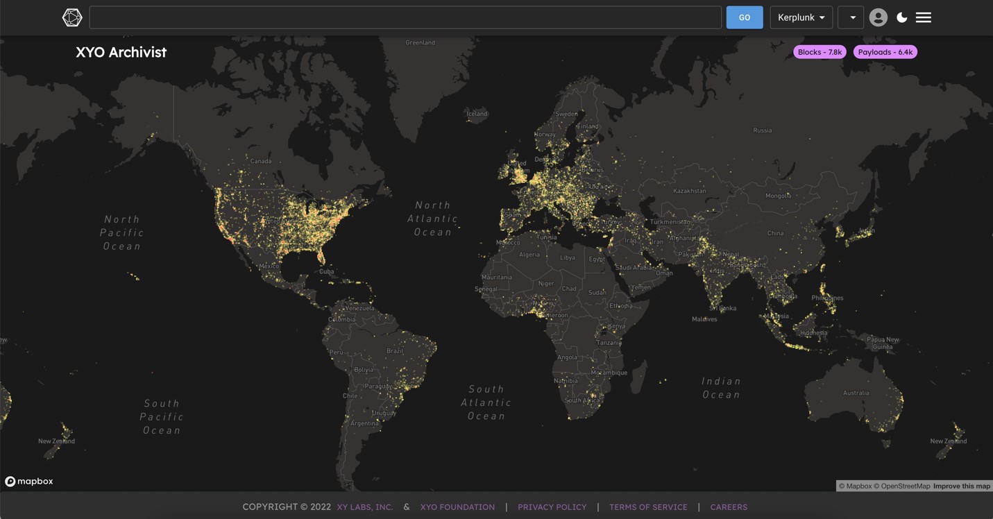
Building the World’s First Blockchain Geospatial Network Backed with Cryptography
XYO Network is the world’s first blockchain geospatial network backed with cryptography that anonymously collects and validates data with a geographic component. XYO calls itself the Reality Oracle, a technology protocol designed to improve the validity, certainty, and value of data. It is seeking to build a data marketplace that gives users a gold-standard for any apps, websites, and blockchain technologies that rely on trusted data.