International Geospatial Briefing October 18th
-
2nd United Nations World Geospatial Information Congress
-
Advances in Automatic Forest mapping from Purdue University
-
Are the Tools Available for our Infrastructure Needs?
-
Aerial Imagery Aids Hurricane Ian Recovery in Florida
-
Ransomware Attacks Mapped
2nd United Nations World Geospatial Information Congress

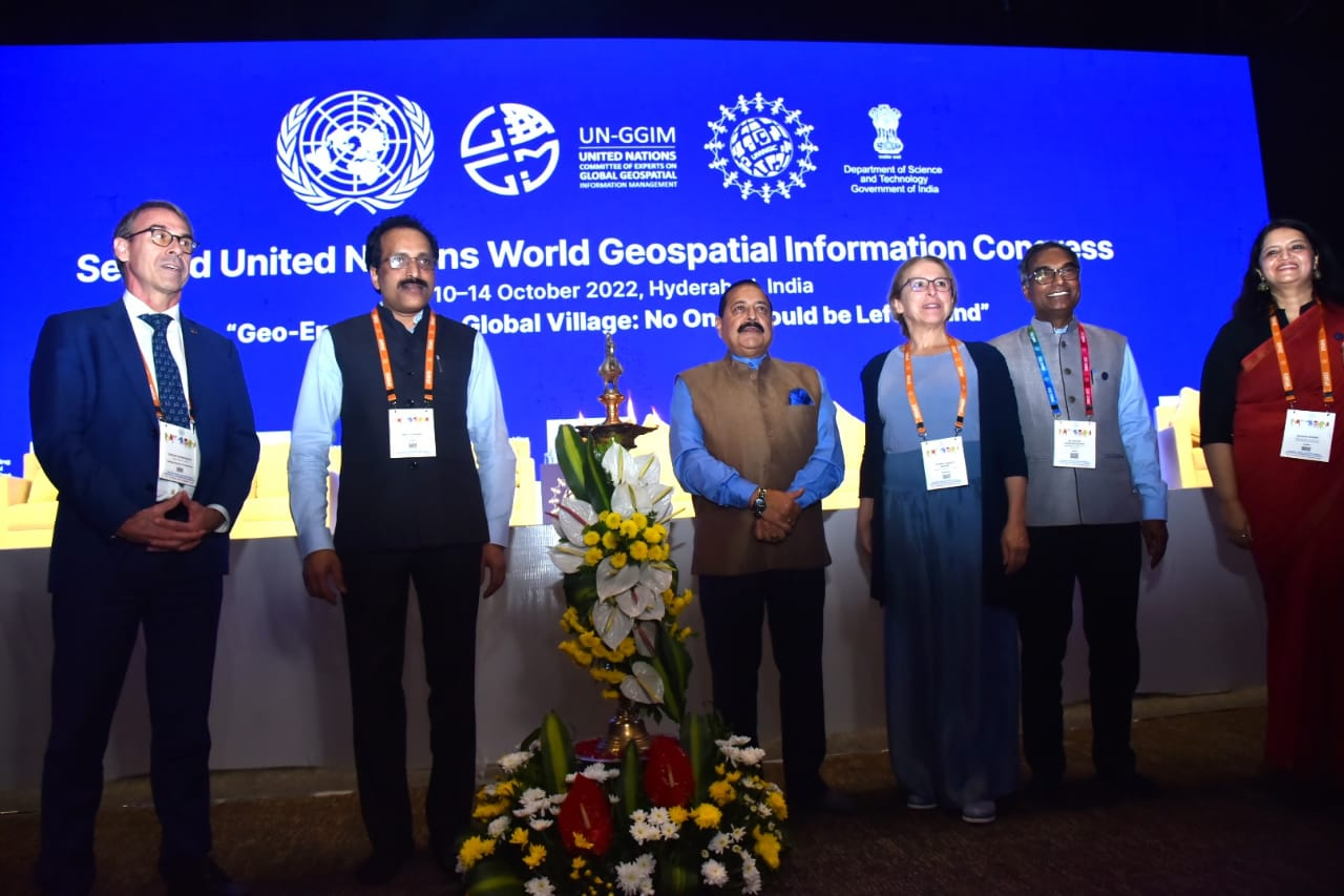
Second United Nations Geospatial Information Congress
Hosted in Hyderabad, India, this 5-day conference which ran from 11th October 2022 to 14th October 2022 is hosted by the Indian Department of Science and Technology – Ministry of Science and Technology. Themed “Geo-enabling the Global Village: No one should be left behind,’ it aims to reflect on the importance of integrated geospatial information infrastructure and knowledge services to support the implementation and monitoring of sustainable development goals. In addition, the well-being of society, environmental and climate challenges, digital transformation and technological development and catalyzing a vibrant economy will be reflected upon as well.
Read the full article here
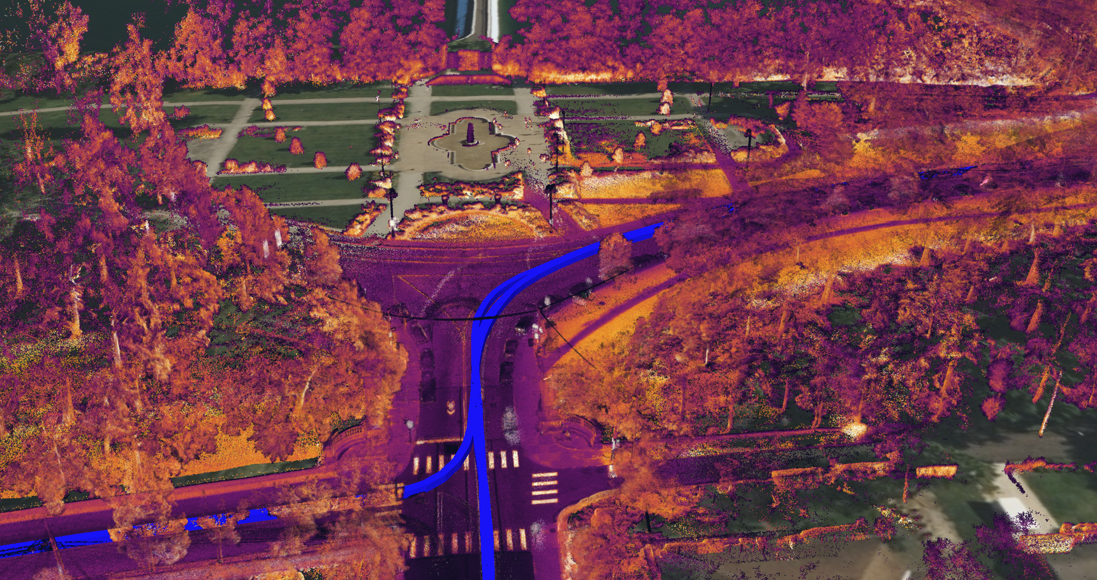
Advances in Automatic Forest mapping from Purdue University
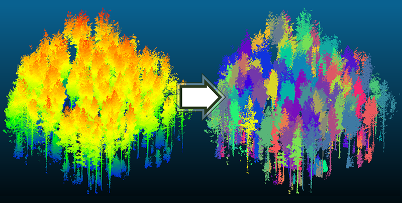
Output from tree segmentation algorithm
Researchers from Purdue university have developed a new algorithm to digitally separate trees from their forests. This approach can lead to the development of digital twins of forests which can improve management planning for climate change, disease outbreaks and population growth.
Read the full article here
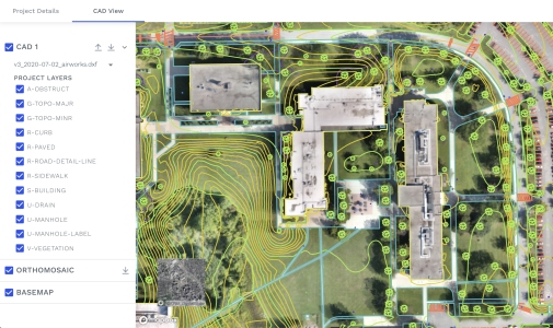
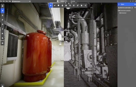
Are the Tools Available for our Infrastructure Needs?
Digitizing existing infrastructure
With aging infrastructure around the world needing immediate repairs or replacement, tools that will be available to provide governments actionable data quickly and cost effectively are needed. Current tools such as drones, LiDAR, 3D-mapping systems, construction software and proprietary platforms will be part of the solution. However, the process of digitization of assets and their associated documentation are equally important as well. This article explores the innovative tools are being developed.
Read the full article here
Aerial Imagery Aids Hurricane Ian Recovery in Florida
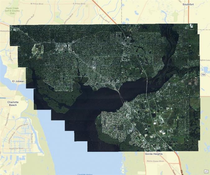
High-resolution imagery coverage of Port Charlotte, Florida, captured one day after Hurricane Ian.
In a collaboration between Fugro and McKenzie Intelligence Services (MIS), high resolution imagery was made available to MIS within 48 hours of mobilization. This rapid delivery of data will aid in the damage assessment and quickly allow insurance companies to help their customers financially recover.
Read the full article here
Ransomware Attacks Mapped
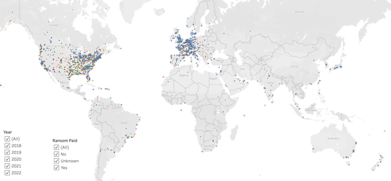
Ransomware attacks 2018 to 2022
Comparitech, a research company has created a mapped showcasing ransomware attacks across the world yearly from 2018 to 2022. In addition, users can further visualize by location if the ransom was paid, unpaid or if there was no data.
The interactive map can be viewed here
Read the full article here