
Neil Thompson: Geospatial Intelligence & Canadian Military
GoGeomatics had the chance to interview Neil Thompson, the Managing partner of the WCGroup. Neil is also the former Director of Geospatial Intelligence for the Canadian Forces and a retired Colonel. You can have a look at his LinkedIn profile here
This interview will have two parts. The first part consists of Neil’s background and military career. The second is a broader discussion of GEOINT and its new wider use outside of military applications.
WHAT IS GEOINT?
Geospatial Intelligence (GEOINT) involves the exploitation and analysis of imagery, geospatial data and geospatial information to describe, assess, and visually depict physical features and geographically referenced activities on Earth.
GoGeomatics: Hi Neil and thanks for taking the time out of your busy schedule to talk with the GoGeomatics Canada community. You have had an amazing career in the military and geomatics. We know that our readers are going to appreciate learning more about you and the use of geomatics for military intelligence.
 GoGeomatics: Can you tell us a little about yourself and your early years? Where did you grow up and go to school?
Neil Thompson: I was born and grew up here in Ottawa. My father served in the Second World War and landed on D Day and was always a hero for me. Therefore, as soon as I could, I joined the Army reserve in his Regiment, the Cameron Highlanders of Ottawa. During that time I graduated from Carleton University with a degree in Political Science. I transferred to the regular Canadian Forces as an Intelligence Officer and continued to serve for over 44 years in total until I retired in 2010.
GoGeomatics: Neil you’ve had a stellar career in the Canadian Military. Can you please tell us about it?
Neil Thompson: I had a very satisfying career in the Canadian Forces with more than 30 of the 44 years in various command and staff positions in the defence, civilian and international intelligence communities. These included a secondment to the Government of Canada Privy Council Office and a Branch Chief on the International Military Staff at NATO Headquarters.
I had the honour to be the first Commanding Officer of the Canadian Forces Joint Imagery Centre and was also a Defence Attaché for Intelligence in the United Kingdom. When I returned to Ottawa I became the Director of Intelligence Operations within the Chief of Defence Intelligence Staff.
I completed my career as the Director of Geospatial Intelligence. There I was responsible for all aspects of Geospatial Intelligence in the Canadian Forces. In that capacity I was responsible for Military Mapping, Charting, Imagery (from space based, UAVs and handheld) and all Meteorology Services for the Forces. I led the team that transformed the entire CF Geospatial Intelligence enterprise. This included new concepts, processes, structures and work flows.
During my career I was very fortunate to be appointed as an Officer of the Order of Military Merit. I received the Owen Kenyon Award, the United States of America National Geospatial-Intelligence Agency Medallion for Excellence, and awards from the US Defense Intelligence Agency and other US Intelligence Agencies.
GoGeomatics: Where are you working now and what are you doing?
Neil Thompson: I am currently the Managing Partner of WCGroup which provides the full spectrum of Intelligence, ISR and Geospatial Intelligence related consultant services. The type of products and services include: developing new and effective surveillance and reconnaissance planning, collection training, and maximizing complex intelligence, remote sensing, satellite operations and Enterprise Mission Management Operations (EMMO). In addition, we provide the full range of Geospatial Intelligence assistance and advice in the area of remote sensing, satellite operations and maritime surveillance
WCGroup continues to have contracts with a number of clients in Canada, UK, Europe, Singapore and the United Arab Emirates. I have had the pleasure to chair a number of international Geo Int conferences in London, Brussels and Abu Dhabi. The next conference I will chair is DGI London www.wbresearch.com/dgieurope in January 2014.
GoGeomatics: How has your interest in geography helped to develop your career path? As well, what role does geography play in regards to the work an Army Intelligence officer performs?
Neil Thompson: As an Army Intelligence officer, geography, and all its aspects of including what is now called Human Terrain Analysis (HTA), is the foundation of any preparation for Military operations. As we say “Everything Happens Somewhere”. So the vital role of geography/HTA/geomatics was always the part of our work. I always enjoyed studying human and physical geography, so adapting these disciplines to the military intelligence process was logical to me.
GoGeomatics: What was the reason for creating the Canadian Forces Joint Imagery Centre?
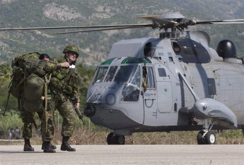
Neil Thompson: When we created the Canadian Forces Joint Imagery Centre (CFJIC), the aim was to bring all elements of the Military Imaging business together: hand held, air breathing, remote sensing, space based collection, uninhabited Aerial Vehicles or Systems (UAV/UAS) including full motion video.
Not only were we able to do this, but for the first time at CFJIC I was introduced to the capabilities of the Geospatial Technicians (Geo Tech) of the Canadian Forces (CF).These Military Engineers, who are trained as Geo Techs, opened my eyes to the incredible power that Geomatics could bring to the Intelligence process and to better support commanders, planners and policy makers.
GoGeomatics: In regards to the Geo Tech’s you worked with, what else did they show you?
Neil Thompson: They also showed us their process of work flow management and the enforcement of standards. These characteristics were not always followed as closely in the intelligence system. In addition, the world class skill levels and motivated approach that these soldiers had to solving problems was very impressive. This appreciation and respect for the vital role of geomatics was critical when I became the Director of Geospatial Intelligence, and for the first time in the CF, lead the process to start to produce Geospatial Intelligence products, services and, most importantly, knowledge.
GoGeomatics: We want to thank Neil for sharing his thoughts on geomatics in the military with the GoGeomatics community. The next part of the interview with Neil we be coming shortly. In part two we will be discussing careers in GEOINT and the role it plays beyond the military.
Neil Thompson OMM CD, neilthompson@wcgroup.ca Managing Partner, Westfield Consulting Group (www.wcgroup.ca)


