Canada
Top 5 Reasons you should attend GeoIgnite 2019
The Geoignite 2019 conference program spotlights the technology sector’s influential leaders as partners and speakers, shares insights on the intersection…
The Government of Canada Announces Winners of the Smart Cities Challenge
By driving innovation in communities across the country, the Government of Canada is empowering communities to address the most pressing…
GeoIgnite 2019: 3 weeks away
The last month has been a lot of fun and a lot of work. Now that we are just weeks…
GoGeomatics Canada at the 2019 Geospatial World Forum in Amsterdam
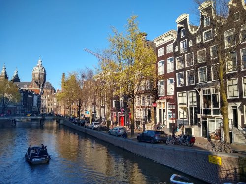
The Geospatial World Forum (GWF) is a premier global vendor-neutral event that takes place in Amsterdam each year. As part…
Government of Canada: National Elevation Data Strategy Update with AI & Big Data
Natural Resources Canada (NRCan) is increasing the HRDEM product coverage by 30,000 km2 by publishing 21 new datasets in six…
Your Canadian Geospatial Briefing for March 18th: Lunar Gateway program; RME; SongSAT; Edmonton’s Smart City entry; 2019 geospatial events
MDA applauds Canadian entry to Lunar program MDA is cheering the Canadian government’s decision to join the Lunar Gateway program,…
How to Finance Canadian Geospatial Innovations Using SR&ED
GIS companies regularly create new geospatial products and develop new processes to do things better. Such innovations might be eligible…
GeoIgnite 2019 Conference Interview with Jonathan Murphy
You may have heard that GoGeomatics Canada is hosting a National Conference called GeoIgnite in Ottawa, from June 18th to…
The Open Government Canada Team is organising its first Student Challenge!
Are you a current or a recent student at a Canadian post-secondary institution? We challenge you to share your work…
Your Canadian Geospatial Briefing for February 4th: Acadia; AI Centre; Exploring Earth; Canadian caribou; automated vehicles
Below the surface In a previous digest we introduced the ground-penetrating radar team surveying the historic site of Fort Anne.…
How to Write an Effective Geospatial & GIS Cover Letter
When applying for a geospatial position, your cover letter provides the perfect opportunity to really make sense of your skills…
Canada’s National Elevation Data Strategy Updates from NRCan
New Data Generated from LiDAR! Natural Resources Canada (NRCan) is proud to announce a new release of the product High…


