
degree
Stephanie Murphy – GIS Analyst for the R.C.M.P
GoGeomatics Canada would like to welcome one of their editors, Stephanie Murphy. Stephanie graduated from Ryerson University with a Master…
Melanie Tranter – Land Use Specialist at NAV Canada
GoGeomatics Canada had the privilege of interviewing one of their very own editors, Melanie Tranter! GoGeomatics: We would like to begin by…
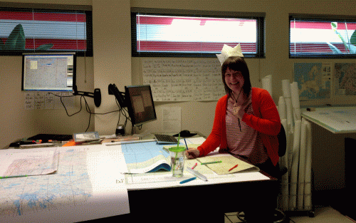
Anne Krahnen – Cartographer and GIS Specialist
GoGeomatics Canada recently had the pleasure of interviewing Anne Krahnen! Anne is a Cartography and Geomatics specialist and is currently…
Dr. Robert ‘Bob’ Ryerson: A Canadian Geomatics Perspective on our Industry and Future
GoGeomatics has had the pleasure of speaking with Dr. Robert ‘Bob’ Ryerson of KIM Geomatics Corporation. Along with his…

Andrew Hoggarth: CARIS Geospatial Software Solutions
GoGeomatics recently had the opportunity to talk with Andrew Hoggarth, Marketing and Sales Manager, CARIS . As a senior executive in the Geomatics industry, Andrew has a wealth of experience to share about CARIS and how his technical expertise has led him to a senior position in a business role.
43 Degrees North – Surveying and Mapping Solutions
GoGeomatics is continuing the exploration of careers in surveying by interviewing Thomas Hoppe, the founder of 43 Degrees North – Surveying and Mapping Solutions. 43 Degrees North is situated in Cobourg Ontario in picturesque Northumberland County along the north shore of Lake Ontario is a professional Land Surveying and Geomatics company in Ontario Canada. They provide a variety of geo-referenced solutions from boundary surveys, aerial photography ground support, pre-engineering surveys, construction layout, and survey training with an emphasis on GPS applications and technology
Geomatics Entrepreneur & Founder SpatialBridge
This is the the first part of a new section featuring Geomatics Entrepreneurs with Jonathan Bailey the founder of SpatialBridge a geomatics consultancy in Ottawa, Canada.
Spatial Ecologist and GIS Manager
Ted Elliot of LGL Limited environmental research associates helps to better explain and define what a Spatial Ecologist and GIS Manager’s role could be. A key to LGL’s success has been the stability of the company, resulting in low staff turnover. Several staff members have been with LGL for 30 years or more. This experience enables LGL to complete assignments efficiently, on time, and within budget, and with a high degree of scientific competence.
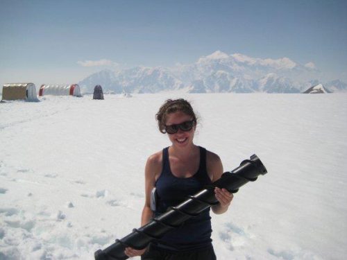
Project Manager – LIDAR Surveying
Find out what a Project Manager role with a LIDAR data Acquisition company is like and how you could get yourself into the LIDAR survey business. A very exciting and dynamic role for young people to keep up to date with changing technology and also have a chance to see the world while getting paid to do it.
