disaster
NRCan is the inaugural recipient of the OGC Community Impact Award
New award recognizes OGC members who, through exceptional leadership, volunteerism, collaboration, and investment, have positively impacted the geospatial community. The…
Deploy Software Solutions Fills in the Communication Gap When Needed Most
Improving Communication Between Citizens and Authorities During Disasters During GeoIgnite, Winter Geo livestream on March 2, 2022, Nick Kellet, Founder…
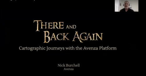
GeoIgnite 2020 Video: Cartographic Journeys with the Avenza Platform ~ Nick Burchell – Director- Avenza
Nick Burchell’s GeoIgnite talk ‘Cartographic Journeys with the Avenza Platform’ was one of the best graphically designed, creative, engaging, and well organised presentations at GeoIgnite 2020.
OGC seeks sponsors for disaster-related geographic pilot
The Open Geospatial Consortium (OGC) is seeking additional sponsors to support the OGC DisastersPilot. Current sponsors include Federal Geographic Data…
Geomatics Web Services Used in Recent Quebec Floods
Editors note: This article has been jointly written by Nicolas Gignac and Serge Legaré from the Ministry of Public Safety…
Master’s Thesis Student Recruitment: Amphibious Housing in Vietnam
University of Waterloo searching Funded Master’s (MA or MES) research project Dr. Carrie Mitchell (UW-Planning) and Dr. Brent Doberstein (UW-Geography…
Toronto & Calgary: Federal Floodplain Mapping Workshop March 28th & 30th
The Federal Floodplain Mapping Guidelines workshop, hosted by Canadian Water Resources Association (CWRA) on behalf of the Government of Canada,…
Event Recap: COGS & CIG & GANS Cooperate for Mapping Workshop
The Canadian Institute of Geomatics (CIG) Nova Scotia Branch and the Geomatics Association of Nova Scotia (GANS), two regional professional organizations that foster the application of geographic information within the geomatics sector recently collaborated to host a high resolution mapping workshop at the Centre of Geographic Sciences (COGS) in Lawrencetown, Nova Scotia.
Operational Use of Remotely Piloted Aircraft System (RPAS) for Geomatics Applications
Recently, I reviewed a report by the Canadian Council of Geomatics on the use of Remotely Piloted Aircraft Systems (RPAS)…
MDA signs contracts for RADARSAT-2 information
Richmond, BC – MacDonald, Dettwiler and Associates Ltd. (“MDA” or the “Company”) (TSX: MDA), a global communications and information company,…
Drone World Expo Conference Program Will Provide a Road Map for Commercial Drone Solutions
A world-class conference program and several new educational and networking features will take place at the 2nd annual Drone World…
Global GIS Market to Grow Steadily at a CAGR of More Than 10% by 2020
Technavios market research analyst predicts the global GIS market to grow steadily at a CAGR of more than 10% by…


