
Commercial UAV Expo
Commercial UAV Expo, September 5-7, 2023 in Las Vegas is the premier event for the commercial drone industry focusing on…
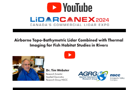
Dr. Timothy Webster, a Research Scientist at the Applied Geomatics Research Group (AGRG) based at Nova Scotia Community College’s Annapolis…

New strategic collaboration brings the world’s largest hydrogen aviation conference to the leading commercial drone event Portland, Maine – March…

Field surveying is the trade behind many construction and engineering projects globally. From buildings, to railways, and resource based industries,…

Satellite Technology and Real-Time Water Sampling Enhance Blue-Green Algae Research in Alberta Two pioneering Canadian drone companies collaborate to fight…
‘Incredible geo-cultural landscape’ is being mapped using a drone. FireSmoke Canada Interactive Map Sea ice in Hudson Bay is melting…

Balko Technologies will be exhibiting at the GoGeomatics Expo in Calgary November 6-8th, 2023. Balko Technologies develops and manufactures the…
Commercial UAV Expo, September 5-7, 2023 in Las Vegas is the premier event for the commercial drone industry focusing on…
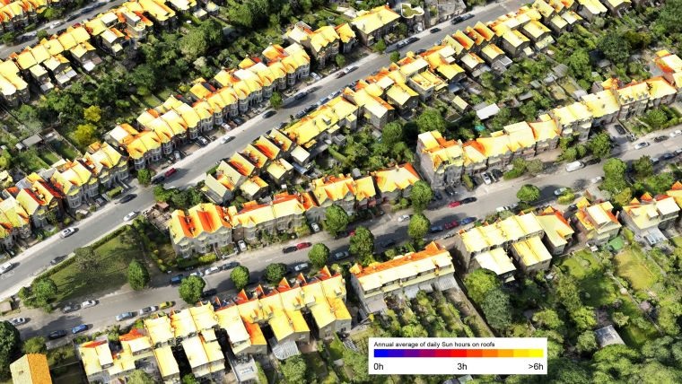
Zalak’s Pick: Vodafone’s New 3D Digital Twin Aids Engineers Farzaneh’s Pick: UAVs Uncover Italy’s Hidden History George’s Pick: Satellite Imagery…
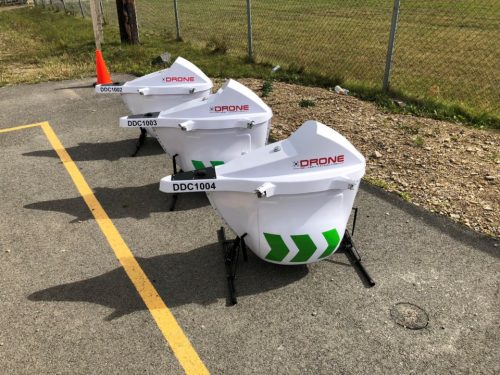
Drone Delivery Canada Corp. (DDC) is pleased to announce that, with the assistance of its sales agent Air Canada, has…
Germany Builds Digital Twin of Rail Network in NVIDIA Omniverse Kalmar Municipality Streamlines Digital Capture for Community Planning How Drones…

Established as an advanced and comprehensive geospatial software, Global Mapper Pro excels in terrain analysis, point cloud editing, drone-collected image…
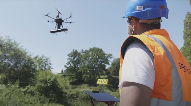
The drone-based platform covers the blind spot in current technology. Skipper NDT Co-founder and COO, Luigi Kassir, spoke on locating…
