Economic Development
Sustainable Land Cover And Land Use Monitoring with Satellite Imagery
Canada has a population of more than 37.9 million and is growing at a steady pace. Faced with a growing…
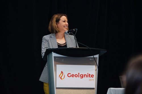
Introducing our new GeoIgnite 2020 Chair: Amina Deiab
I am pleased to announce that Amina Deiab, Chief of Staff to the Deputy Minister, Policy coordinations Office, Government of…
URISA BC – Engage: Make It So With GIS in Community Engagement
What: Engage: Make It So With GIS in Community Engagement Where: Vancouver, BC When: Thursday, 15 June 2017 from 8:00…
CANMAP, and SHIFTing gears at COGS
At the end of last month, John Wian hosted the Annual General Meeting (AGM) of the CANMAP Research Institute in…
URISA BC: Vancouver Call for Presentations on GIS Trends in Community Engagement
Call for Presentations Following the success of our December event, the URISA BC Executive Team is busy planning our next…
Canadian Government Supports Advanced Geomatics Research
Leading Edge Geomatics will be able to develop new and advanced airborne mapping technology thanks to a repayable government contribution…
Canadian Municipalities Unlock Their Data with Esri’s ArcGIS Open Data
TORONTO—April 25, 2016—Esri Canada today announced that more than 20 Canadian municipalities have adopted ArcGIS Open Data. Esri’s cloud-based geographic…
A Shared Vision
Every year, a small team of Esri staff come to COGS to recruit new talent. As part of the interview…
MDA to operate Canada’s ground station infrastructure and expand its international business
Richmond, BC – MacDonald, Dettwiler and Associates Ltd., a global communications and information company, today announced that it has signed…
West Parry Sound Geography Network Wins Esri Canada’s Award of Excellence in GIS
Use of mapping technology facilitates efficient data sharing and increased collaboration among rural municipalities Thunder Bay, ON, Esri Canada User…
Remote sensing sheds light on Earth’s surface at UVic
The University of Victoria is partnering with the province to develop new ways of using airborne sensors to gather information…
tecconnect Making Lethbridge a Hub for Geospatial Technology
How can we foster a strong geospatial sector in our cities and communities across Canada? Economic Development Lethbridge’s (EDL) answer…


