
geospatial technology

Canada’s Geospatial Excellence: Nurturing Skills for a Sustainable Tomorrow
Canada is leading the way in empowering individuals with cutting-edge skills in the field through programs such as Quick Train…

Canadian Geospatial Digest for February 12th, 2024
Laurier Professor Charts Northern Ice Roads A Laurier professor pioneers the mapping of northern ice roads, crucial lifelines in remote…

Geospatial Technology Guiding the Development of Autonomous Vehicles
Driver-less cars, also known as autonomous vehicles or self-driving cars, are vehicles that are equipped with sensors, cameras, and other…

GoGeomatics Picks the Most Important Canadian Geomatics Stories of 2023
The GoGeomatics volunteer editors and writers have selected the most significant stories from 2023 to share and highlight as we…

Canadian Geospatial Digest December 11, 2023
The wildfire-fighting drones of the future. Restoring salmon habitat: An interactive map The maps selected for the 2024 Esri Canada…

Canadian Geospatial Digest November 13, 2023
The prospect of space mining is growing more likely, and Canada may be a key player Black and grizzly bears…

International Geospatial Digest July 17th, 2023
Singapore Land Authority Utilizes Bentley Systems for Digital Twin and 3D Mapping Addressing the Slow Adoption of Technology in Developing…
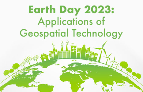
Celebrating Earth Day with Conventional and Unconventional Applications of Geospatial Technology: Part 2
3 Unconventional Earth-friendly Applications of Geospatial Technology After talking about some of the more conventional methods of implementing geospatial technology…

Maxar’s Global Technology Shift from 2D to 3D
Maxar Endeavours to use Space and Earth Intelligence for the future of Geospatial Intelligence “Imagery is the foundation of our…
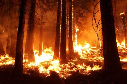
Sparkgeo uses geospatial technology to analyze water hazards caused by BC wildfires
Western Canadian wildfire season is quickly approaching. The increase in wildfire season length, wildfire frequency, and burned area makes it…
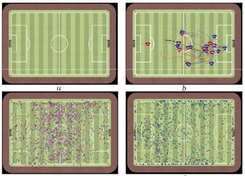
Why are they wearing those GPS vests during a football game? — GI-technology in modern-day soccer
Geographic information technology has been used to answer questions of locations. Where are the sewer lines? How close is the…

GeoIgnite 2020 Video: Geospatial data & analytics advance issues critical to Indigenous communities in Canada: David Acco
GeoIgnite is Canada’s national geospatial conference hosted by GoGeomatics Canada. GeoIgnite was held online via Zoom from July 22nd to…
