
Google E
What is the Canadian Cartographic Association?
The Canadian Cartographic Association (CCA) was founded in 1975 with the aim to promote interest in maps and cartographic materials, deepen…
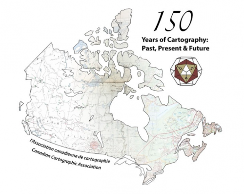
A summary of the 2017 Conference of the Canadian Cartographic Association: “150 Years of Cartography: Past, Present and Future”
The 42nd Annual Conference of the Canadian Cartographic Association was held, May 31st thru June 2nd, at Carleton University. Inspired…

Google Earth Engine – What is a Data Cube and Why Canadians Should Care
What is a data cube and how is it used for big data analytics? How does a data cube work…
CCA Ottawa Conference: “150 Years of Cartography: Past, Present and Future”
The 42nd Annual Conference of the Canadian Cartographic Association “150 Years of Cartography: Past, Present and Future” Location: Carleton University,…

Top Ten Climate Change Maps and GIS Applications
Awareness for climate change has been steadily increasing ever since the Green Revolution in the 1960s. There is a plethora…

List of Canadian Geomatics Conferences and Events for 2017
This is our list Canadian geomatics conferences and events for 2017. Here you will find events pertaining to GIS, remote…

The Most Fun You’ve had with Geomatics: ‘Pokémon Go’ Comes to Canada
The geospatial community has been “abuzz” since a game called called “Pokémon Go” landed on cell phones in Australia and…

Local Action & Geomatics: the Gowgaia Institute on Haida Gwaii
This blog is a sequel to last month’s discussion on ‘think global, act local‘. It looks at the the Gowgaia…
QGIS, GDAL & Python: Exploring The Lost Buildings of Ottawa
The city of Ottawa has seen its urban landscape change throughout its history. As in many major cities, small buildings…
Ottawa GoGeomatics Social Nov 25th: Mapping Historic Buildings in Ottawa
This months speaker will be discussing his project mapping historic Ottawa. Kevin Ballantyne, Geomatics Specialist at MDA, will be…
2005-2015: Ten Years with Google Maps
In February 2005, Google Maps was launched as a desktop web mapping service. A few months later, in June 2005,…

GGE Images Kings Landing Historical Settlement in 3D
During the summer and fall of 2014, a team of researchers from the Department of Geodesy and Geomatics Engineering at…
