
image processing

MGEM Interview with Kathleen Coupland, Coordinator for UBC Forestry’s Professional Masters Programs
GoGeomatics: What is the MGEM Program? (When did it first start, where is it, when did it start, what is…
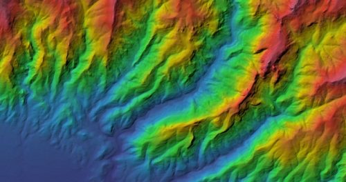
Reimagining Remote Sensing with ERDAS IMAGINE
Using location-based information and geospatial data to solve problems is not a new idea, but the variety in types of…
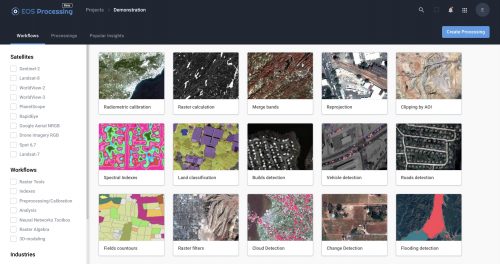
Earth Observation: find, store, analyze and process GIS data within a single EOS platform
Most image analysis tasks can now run online thanks to EOS Platform, a new cloud service by EOS Data Analytics…
