
imagery
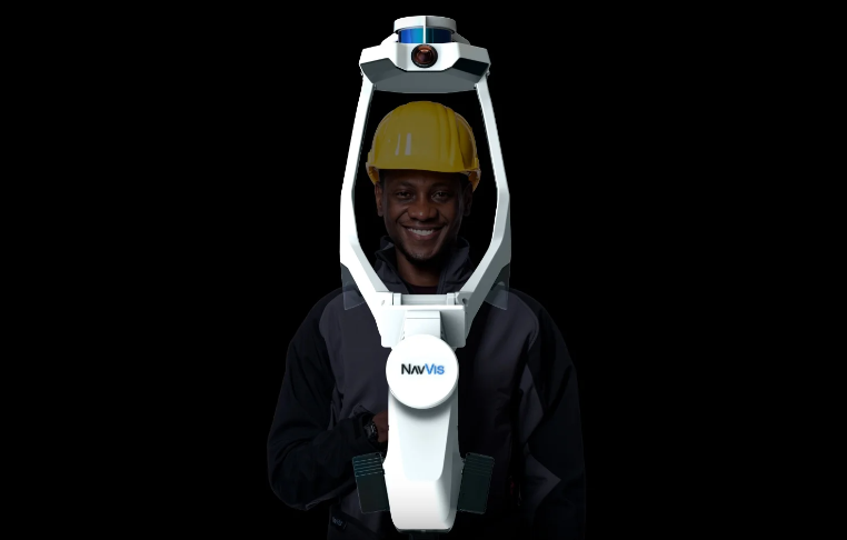
Cansel Offers NavVis VLX Wearable Mobile Mapping Systems to Canadian Geospatial Market
Get ready, engineers, surveyors, and geospatial professionals. A new wearable mobile mapping system is coming to Canada, NavVis VLX. NavVis…

International Geospatial Briefing – June 6th, 2022: 1. Largest-ever imagery contract handed out by National Reconnaissance Office 2. Are Maps the next big medium? Felt is betting on it 3. Xona’s private GNSS passes critical tests on path to launch 4. New US school shooting map in wake of Texas tragedy 5. Geospatial and the problem of too much climate data
Largest-ever imagery contract handed out by National Reconnaissance Office A new announcement out of the National Reconnaissance Office in the…
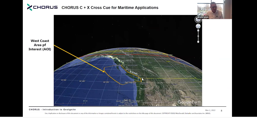
MDA Introduces Its Next SAR Mission: CHORUS
This Statellite Will Change How You See The World At the GeoIgnite, Winter Geo conference on March 2, 2022, during…

Maxar’s Global Technology Shift from 2D to 3D
Maxar Endeavours to use Space and Earth Intelligence for the future of Geospatial Intelligence “Imagery is the foundation of our…
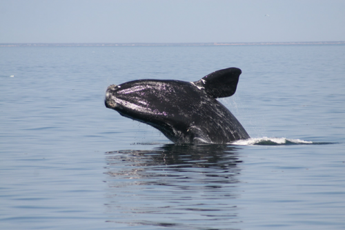
Geomatics Tools In The Protection and Conservation of North American Right Whales
Right Whale Biology + Conservation When speaking about declining populations in species, the words endangered, vulnerable and threatened often come…

MDA Announces Radarsat-2 Continuity Mission
February 2, 2021 MDA is excited to announce that the company has embarked on a major new initiative to build…

GeoIgnite 2020 Video: Maxar- Monitoring Arctic Expansion and the Impact of Climate Change with High-Resolution Imager
GeoIgnite is Canada’s national geospatial conference hosted by GoGeomatics Canada. GeoIgnite was held online via Zoom from July 22nd to…
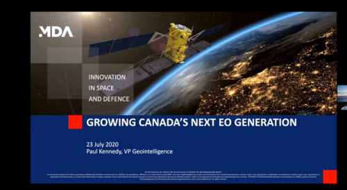
GeoIgnite 2020: Growing Canada’s Next Earth Observation (EO) Generation
GeoIgnite is Canada’s National Geospatial conference hosted by GoGeomatics Canada. GeoIgnite was held online using Zoom July 22nd to 24th,…

Elexicon Energy and Quantum Spatial Canada Pilot Comprehensive Mobile Mapping Project
Elexicon Energy (Elexicon) was formed in April 2019 by the merger of Veridian Connections and Whitby Hydro Electric Corporation. Owned…

Quantum Spatial Canada Supports Disaster Preparedness on Vancouver Island Through Lidar Survey Covering 9000 Square Kilometers
Located off the Pacific Coast of British Columbia, Vancouver Island is home to just under 900,000 people, as well as…
Post-Wildfire Landscape Metrics & Transition Characteristics in Cariboo Regional District, 2017
The summer of 2017 marked one of the worst fire seasons in British Columbia’s history. By October, wildfires had covered…
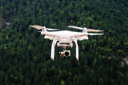
Low-cost, less-time, lesser-logistics and high-accuracy mapping with drone-imagery
Highlights There is a tendency to use aerial photographs and digital images as the cartographic product!These pictures are the primary…
