
Langara
Using Swipe Maps to View Wildfire Destruction in BC
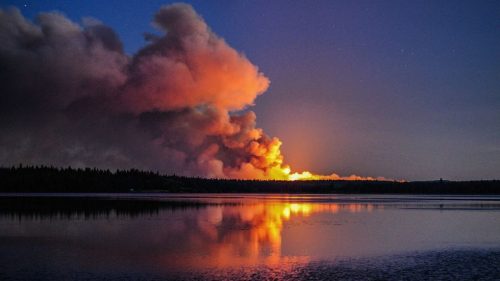
On July 7, 2017 a series of devastating wildfires began in the Cariboo region of British Columbia. The effects of…
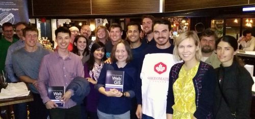
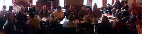
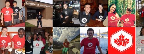
Report for 450 Participants & Sponsors: 2016 GoGeomatics Canada Back to School Socials
Last month the Canadian geomatics community came together to celebrate the start of the new school year by welcoming new…
The Importance of Students & Young Professionals in Canada’s Geomatics Community
With the help of our sponsors GoGeomatics Canada is bringing students and young geospatial professionals together at 11 events from…
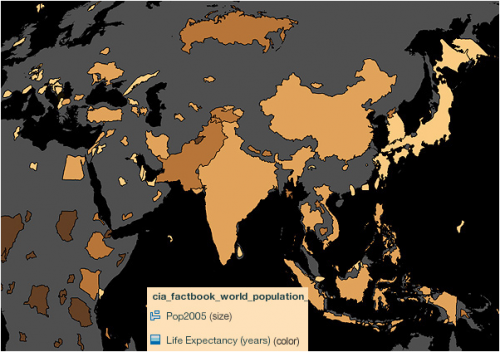
Using Colour Transparency to Map Election Results
As the 2016 United States presidential election careens towards its conclusion in November, GIS plays a prominent role in both planning…
Join us for Coast to Coast “Back to School” 2016 GoGeomatics Canada Socials
GoGeomatics Canada is kicking off the new school year this September, and welcoming everyone to our Canada-Wide Back to School…
Making a Crow Attack Web Page With Open Source GIS Tools
Of all the pleasant events that happen in spring, crow attacks rank at the bottom of the pile. Crows become…
Georeferencing Scanned Maps Using QGIS
One of the passions of modern day information technologists is to convert the past to digital form and to put…
Vancouver: Using QGIS TimeManager for Analysis of Crime Data
We typically think of a GIS as features on a map with a maximum of three dimensions: Longitude Latitude Height…
Open Data, Open Source, Open Possibilities
Back in 2006 I (Jim) was a student at BCIT and a Vancouver resident, eager to obtain some local data…

Getting to First Base with GIS
A friend of mine who volunteers with a girls’ softball team came to me with a request recently. “I have…
Open Source GIS for Everyone: A QGIS-based program at Langara College Vancouver
This article is the first in a monthly GoGeomatics Canada series on topics related to Open Source GIS for Everyone,…
