Launch
International Geospatial Briefing for Sept 28: Chinese launch failure; HERE Data access; Free Aerial Imagery basemap of New Zealand; SpaceX internet 700 satellites; GIS is powering solutions; Teaching disaster management through GIS games
China’s launch of new satellite fails Jilin-1 Gaofen 02C, the new Chinese satellite failed to enter the preset orbit on…
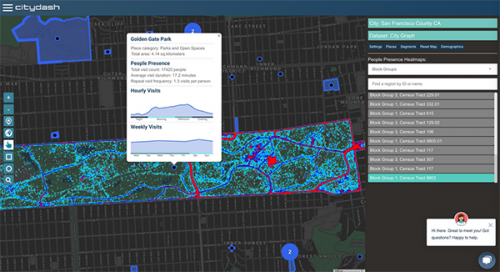
Your International Geospatial Briefing for August 17th: NZ Government investment in agritech; AWS unveils new space business segment; Measure local parks using geospatial data; Amazon rainforest cleared in July in Brazil; ESAIL Maritime Sat ready for launch
Government to invest $11.4 million in agricultural technology The New Zealand government undertakes investment in developing the country’s agritech sector,…
Using GIS to study health care services and utilization––from local to national
Access to timely and quality health care is an important determinant of health and well-being. Despite universal health coverage in…
The “New” GoGeomatics Canada: Relaunching Our Magazine
A team of really intelligent squirrels and I have been working on the new GoGeomatics magazine. I’m taking a break…
Free Satellite Imagery For You: Sentinel 1 & 2
Sentinel constellations and data products As the ENVISAT program is coming to an end, the European Space Agency has begun…
Montreal: K2 Geospatial launches latest version map-based integration platform JMap
More powerful, even more robust and interoperable, JMap 7 is now available JMap’s 7th version is finally here! K2 Geospatial,…
RAC launches online Canadian Rail Atlas
One hundred and fifty years after Confederation launched the idea of a railway that would unite the country, the Railway…
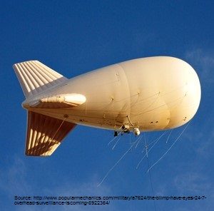
Geospatial Earth Observation Using Blimps, Balloons and Kites
These days drones are all the rage. Nevertheless, there are other ways to collect data from the sky! Blimps, balloons and kites…
New Galileo navigation system is experiencing clock failures
Since December 15, 2016, the new Galileo global satellite navigation system has been up and running. Unfortunately, there are…
Upgrade your Geospatial Skills: leveraging the power of MOOCs
What I want to share with you are some resources related to something called Massive Open Online Course (MOOC) where…
The Future of GIS Software? QGIS A Popular Open-Source GIS for the Masses
In today’s geomatics society, ArcGIS, developed by Esri, is a giant and dominates the GIS software market. However, there are…
The 5 most interesting things that happened in geomatics in 2016
Let’s take a step back and have a look at what happened this year. To be honest, it was pretty…


