
management
Planning an Enterprise GIS from the Bottom Up
You might be an observant professional in a department that uses GIS. Your organization may be large and have many…

Operational Use of Remotely Piloted Aircraft System (RPAS) for Geomatics Applications
Recently, I reviewed a report by the Canadian Council of Geomatics on the use of Remotely Piloted Aircraft Systems (RPAS)…
Contrasting: GIS & Geomatics Education in Canada and China
I have studied Geographic Information Systems (GIS) in both Canada and China. Last summer I completed my master in geography at…

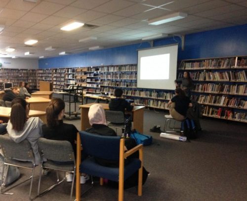
Geospatial Development: Enhancing GIS curricula with programming skills at UNB
Geospatial information science and technology (GIS&T) has rapidly evolved over the last few decades. This evolution has created a highly…

Easy Access to Data: The CGDI Initiative
The Canadian Geospatial Data Infrastructure (CGDI) is an initiative of Natural Resources Canada that began in 2001. The CGDI does…

Ten Online GIS Programs in Canada
After completing an undergraduate degree in 2015, (Geography and Environmental Studies at the University of Toronto) I needed to determine…

Altus Geomatics’ Contributions to Fallsview Construction Helped to Create World-Class Canadian Casino
When construction began on Niagara Fallsview Casino Resort in 2001, the spectacular natural surroundings belied a particularly difficult problem for…

The Art of Being a Cadastral Surveyor: Key abilities every surveyor needs
The Art of Being a Cadastral Surveyor: The key abilities every surveyor needs There is an art to being a…

Operational GIS Jobs in the Canadian Military
Whether its businesses, governments or for personal use, Geomatics offers everyday solutions to the worlds questions. The Canadian Armed Forces…

New Brunswick: CARIS Announces release of HIPS and SIPS™ 10
Fredericton, NB, Canada – November 01, 2016 – Teledyne CARIS™ is pleased to announce the release of HIPS and SIPS™ 10.…
NB 911 Bureau Receives Esri Canada Award of Excellence in GIS
FREDERICTON, Esri Canada User Conference – October 25, 2016 – Esri Canada today presented the NB 911 Bureau, a branch…

DigitalGlobe’s Basemap Suite Expands: 250 Million Square Kilometers of 30 cm Imagery
DigitalGlobe, Inc. (NYSE: DGI), the global leader in Earth imagery and information about our changing planet, today announced that its…
