
MAXAR

Building a Geomatics Expo in Canada
GEOMATICS ● SURVEYING ● EARTH OBSERVATION ● REALITY CAPTURE & DIGITAL TWINS REMOTE SENSING ● BIM & GIS ● REALITY…

MAXAR Joins the GoGeomatics Expo
Maxar partners with innovative businesses and more than 50 governments to monitor global change, deliver broadband communications and advance…

International Geospatial Digest August 28, 2023
Ordnance Survey partners with OxTS Aerial imagery maps historic archaeology of South Downs Maxar and Esri expand partnership, adding Precision3D…
Panelists Discuss Using Geointelligence and AI to Solve Real World Problems
Maxar Sponsors Panel Discussion at GeoIgnite, Winter Geo During a livestream at the GeoIgnite, Winter Geo conference on March 1,…

International Geospatial Briefing – June 6th, 2022: 1. Largest-ever imagery contract handed out by National Reconnaissance Office 2. Are Maps the next big medium? Felt is betting on it 3. Xona’s private GNSS passes critical tests on path to launch 4. New US school shooting map in wake of Texas tragedy 5. Geospatial and the problem of too much climate data
Largest-ever imagery contract handed out by National Reconnaissance Office A new announcement out of the National Reconnaissance Office in the…

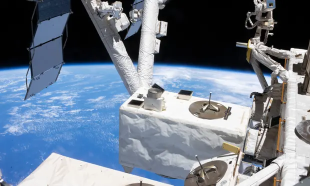
Maxar’s Global Technology Shift from 2D to 3D
Maxar Endeavours to use Space and Earth Intelligence for the future of Geospatial Intelligence “Imagery is the foundation of our…
International Geospatial Briefing March 28th: 1. Ukraine War Called ‘Catalyst’ for Space-Based Remote Sensing Industry 2. International Sea Level Satellite Takes Over From Predecessor 3. Nvidia launched a mapping product for the autonomous vehicle industry 4. Infotech Partners with Cultivate Geospatial Solutions 5. Nasa Urged to extend life of key climate sensor that maps world’s forests
Ukraine War Called ‘Catalyst’ for Space-Based Remote Sensing Industry The war in Ukraine is bringing remote sensing technology to the…

Ukraine at War: Impacts of Geomatics, Geospatial & Earth Observation Technologies
Russia’s invasion of Ukraine on February 24, 2022, sent shockwaves through the global community. As tension escalated in the months…

GeoIgnite: Winter Geo conference returns for fourth annual run
Climate change is the topic of discussion from March. 1 to 10 The fourth annual conference for the geospatial community,…
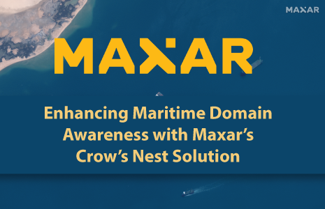
Enhancing Maritime Domain Awareness With Maxar’s Crow’s Nest Solution
Nations often ask their navies to monitor vast maritime regions for vessels engaged in nefarious activity. Often, these vessels are…

Register Now For GeoIgnite 2022 Winter Geo
GoGeomatics is proud to present GeoIgnite, Canada’s largest geospatial conference. This year, Winter Geo 2022 is being held March 1st-3rd,…

Initial Sponsors Announced for Canada’s National Geospatial Conference: GeoIgnite March 1 & 2, 2022
GoGeomatics Canada is proud to present the 4th annual National Canadian Geospatial Conference. Taking place safely online on March 1st…
