
media
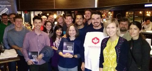
Report for 450 Participants & Sponsors: 2016 GoGeomatics Canada Back to School Socials
Last month the Canadian geomatics community came together to celebrate the start of the new school year by welcoming new…
The Canadian Institute of Geomatics (CIG) New President: Rodolphe Devillers
The Canadian Institute of Geomatics (CIG) is pleased to announce its new President, Rodolphe Devillers, PhD, Professor in Geography at…

Day of Geography 2016
Monday, November 14, 2016 marks the third annual Day of Geography, presented by Geospatial Niagara, Canada’s contribution to Geography Awareness…

LiDAR in Canada: Conversation with Dr. Chris Hopkinson Research Chair Remote Sensing University of Lethbridge
The author Bob Maher (BM) and Chris Hopkinson (CH) both worked as scientists at the Appied Geomatics Reearch Group (AGRG)…
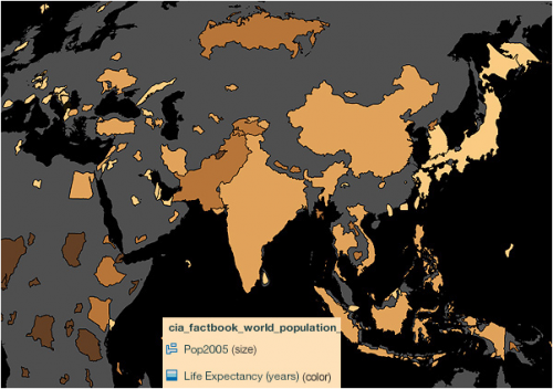
Using Colour Transparency to Map Election Results
As the 2016 United States presidential election careens towards its conclusion in November, GIS plays a prominent role in both planning…
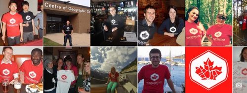
Join us for Coast to Coast “Back to School” 2016 GoGeomatics Canada Socials
GoGeomatics Canada is kicking off the new school year this September, and welcoming everyone to our Canada-Wide Back to School…

Canadian GIS Ambassador Program: Interview with Brent Hall, Director of Education & Research at Esri Canada
Interview with Brent Hall, Director of Education and Research at Esri Canada and, along with his staff, the initiator of…

The Most Fun You’ve had with Geomatics: ‘Pokémon Go’ Comes to Canada
The geospatial community has been “abuzz” since a game called called “Pokémon Go” landed on cell phones in Australia and…
Making a Crow Attack Web Page With Open Source GIS Tools
Of all the pleasant events that happen in spring, crow attacks rank at the bottom of the pile. Crows become…
The Canadian Institute of Geomatics Brings Big Data to Ottawa
Last week I was among an interesting group of participants and presenters who came together to discuss Big Data (June…
SaveTheMap Campaign: What is the future of geospatial information in India
SaveTheMap Campaign: “to encourage citizens and startups to use geospatial data in everyday lives and create businesses that serve India”…
Canadian Government Supports Advanced Geomatics Research
Leading Edge Geomatics will be able to develop new and advanced airborne mapping technology thanks to a repayable government contribution…
