
municipal

Ten Years Later: Interview with Wendy MacIsaac one of Canada’s Top Surveyors
Ten years ago, GoGeomatics interviewed Wendy MacIsaac of Midwest Surveys Inc. in Calgary, Alberta, about her career and being a…

GeoIgnite 2020 is a GO!
Canada’s highly successful national geospatial event, GEOIGNITE, will be held June 22nd to June 24th, 2020 at the Ottawa Conference and Event…

Montréal: Joignez-vous au Sommet d’Observation de La Terre le 20-22 juin 2017
En tant que diplômé récent du Fleming GIS programme, j’ai eu la chance d’aller à Montréal pour assister au Sommet…
URISA BC – Engage: Make It So With GIS in Community Engagement
What: Engage: Make It So With GIS in Community Engagement Where: Vancouver, BC When: Thursday, 15 June 2017 from 8:00…

One of the Best Geomatics events in Canada: GeoAlberta 2017
I had a chance to attend the 2017 GeoAlberta conference earlier this month in Calgary, Alberta. This was my first…
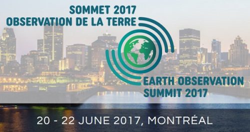
Montreal: Join me at the Earth Observation Summit June 20-22, 2017
As a recent graduate of the Fleming GIS program I jumped at the chance to attend the Earth Observation (EO)…
Outil de versionnement des données géographiques à code source ouvert pour des environnements multi-contributeurs (partie 1)
Note des éditeurs : Cet article a été écrit conjointement par Nicolas Gignac, Dami Sonoiki (eHealth Africa) et Samuel Aiyeoribe (eHealth Africa). Ces auteurs…
GIS Open Source versioning tool for a multi-user Distributed Environment (part 1)
Editors note: This article has been jointly written by Nicolas Gignac, Dami Sonoiki (eHealth Africa) and Samuel Aiyeoribe (eHealth Africa). These authors…
URISA BC: Vancouver Call for Presentations on GIS Trends in Community Engagement
Call for Presentations Following the success of our December event, the URISA BC Executive Team is busy planning our next…
Canadian Remote Sensing Training: Summer School – Montreal 19 June 2017
The Earth Observation (EO) Summit 2017 brings together in one exceptional event the 38th Canadian Symposium on Remote Sensing (CSRS),…
Esri Canada Community Maps Program: Why more communities need to take advantage of this
The Community Maps Program (CMP) was introduced by Esri Canada in 2009 allowing organizations to share and host geographic data. …
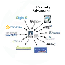
The Integrated Cadastral Information (ICI) Society and ParcelMap BC
This is the first of two articles on the release of ParcelMap BC Data, which we see as a significant…
