
Natural Resources Canada

FHIMP Invitation for Proposals: Funding Opportunities for Flood Hazard Identification and Mapping Projects
Introduction The Flood Hazard Identification and Mapping Program (FHIMP) is a five-year initiative (2023-2028) led by Natural Resources Canada (NRCan)…
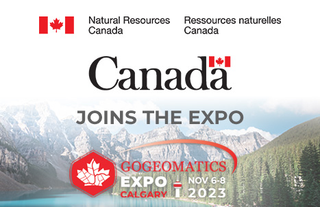
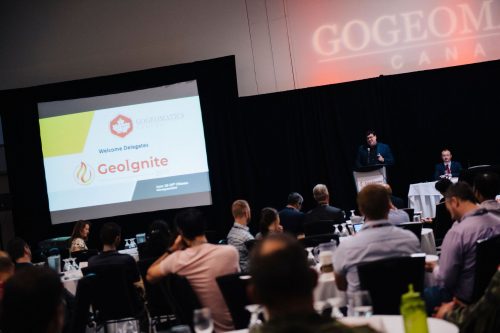
Natural Resources Canada (NRCan) Joins the Calgary Geomatics Expo
We are thrilled to announce that Natural Resources Canada will be joining us as an exhibitor and will also be…
Federal Government Jobs Showcase & Roundtable Discussion
GoGeomatics celebrated Geography Awareness Week and GIS day 2022 by hosting a series of talks and webinars. We could not…
GoGeomatics announces: Geography Awareness Week Program 2022
GoGeomatics is celebrating Geography Awareness Week and GIS day 2022 by hosting a series of talks and webinars. The first…

The Federal Government of Canada Geospatial Director’s Panel at GeoIgnite 2022
During the WinterGeo summit this past March, a collection of some of the most prominent names in Canadian Geospatial sciences…
NRCAN Leading Initiative to Increase Canada’s Resilience to Flooding
Geomatic Services Playing Key Role in Initiative On March 1, 2022, Brian Perry, Engineering Advisor for flood modeling with Natural…

The Canadian Geodetic Survey – Supporting Accurate Geospatial Positioning in Canada
NRCan’s Canadian Geodetic Survey is responsible for defining, maintaining, and providing access to the Canadian Spatial Reference System (CSRS). In…
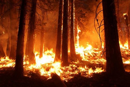
Canadian Wildfire Mapping Resources 2021 Fire Season
Western Canada has been experiencing extreme fire conditions following an intense heatwave since late June. According to BC Wildfire Service,…

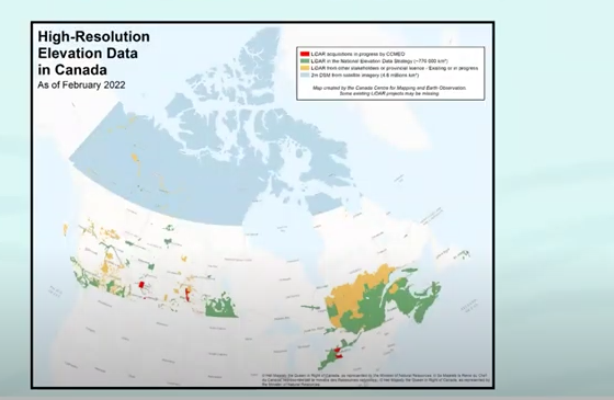
GeoIgnite Talk On YouTube: The National Canadian Elevation Data Strategy Update from NRCan
Natural Resources Canada is hard at work on the National Elevation Data Strategy, which aims to provide Canadians with an…

Interview with NRCan on Indigenous Capacity Surveying Development Program
GoGeomatics Canada was fortunate enough to interview Steve Minnie, the Regional Director and Deputy Surveyor General of Natural Resources Canada and we’re sharing our enlightening discussion about the Indigenous Survey Capacity Development Program with the community.
Leadership in Times of Disruption: GeoIgnite 2020 talks at a Glance
Canada’s geospatial community is gathering next week for GeoIgnite 2020. The second annual conference is being held online this year…
GeoIgnite 2020 Track Announcement: The Impact of OGC Standards on Society
The Impact of OGC Standards on Society “It was the best of times, it was the worst of times” Track…
