
Public sector
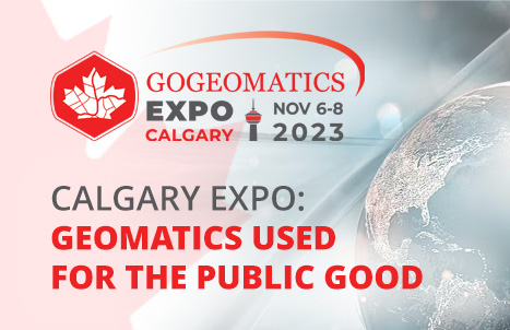
Call for Public Service Leadership: Geomatics used for the Public Good
This is a call for public servants using geomatics and leveraging geomatics technology to showcase their work and value to…

Take the Survey: Canadian Community Survey
GoGeomatics Canada is conducting a survey of the Canadian geospatial community to ascertain the difference a year makes within the…

International Geospatial Briefing Jan 26th: Sentinel Hub Script Contest; Google AI powered Tree Canopy Lab; Lidar on the iPhone 12 Pro; 3D Laser Scan using SLAM and UAV; 5,500 public sector organizations’ access to local data
Sentinel Hub Custom Script Contest Sentinel Hub is a platform that everyone can explore earth observation data with a free…
