
question

Montréal: Joignez-vous au Sommet d’Observation de La Terre le 20-22 juin 2017
En tant que diplômé récent du Fleming GIS programme, j’ai eu la chance d’aller à Montréal pour assister au Sommet…

The “New” GoGeomatics Canada: Relaunching Our Magazine
A team of really intelligent squirrels and I have been working on the new GoGeomatics magazine. I’m taking a break…

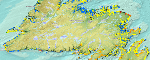
A Canadian Geographer’s Notes from Nunavut
For the last five years, I have annually had the opportunity to spend time in Iqaluit, Canada’s fastest growing community in Canada’s fastest growing territory or province. On arrival, I check out the selection of new books at Arctic Ventures and the screening of new movies about the North. This year, there was the chance to see John Walker’s Passage and to buy a copy of Darrel Varga’s book of the same name in the Canadian Cinema series.
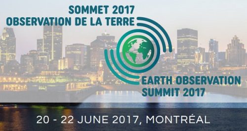
Montreal: Join me at the Earth Observation Summit June 20-22, 2017
As a recent graduate of the Fleming GIS program I jumped at the chance to attend the Earth Observation (EO)…

Google Earth Engine – What is a Data Cube and Why Canadians Should Care
What is a data cube and how is it used for big data analytics? How does a data cube work…
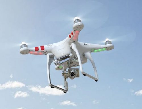
UAV Surveys – How to Ensure Accuracy and Precision
For the past four years, I’ve been involved with the capture and delivery of data derived from drones. My experience…
Ottawa April 29th: Geospatial Career & Job Hunting Seminar
Saturday: April 29th – 9:15 AM Ottawa Library, Main Branch Basement Conference Room 120 Metcalfe, Ottawa, Ontario We will be…

CANMAP, and SHIFTing gears at COGS
At the end of last month, John Wian hosted the Annual General Meeting (AGM) of the CANMAP Research Institute in…
QGIS: Performing Viewshed Analysis on Archaeological Sites
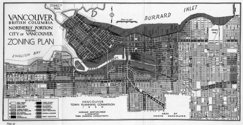
In 1927 a Vancouver bylaw was enacted that limited the height of buildings to a maximum of six stories in…

My COGS GIS Education, Part II
In my first article, I introduced the how and why I chose to attend COGS from the fall of 2014…
WEBINAR March 29: GSDI Coastal and Marine SDI Best Practices
COINAtlantic would like to extend an invitation on behalf of the Global Spatial Data Infrastructure (ASDI) Association to participate in…

GIS in Action: How Does BC Pinot Noir Express Terroir?
Editors note: In this previously published article, Karl Kliparchuk, BCIT GIS Program Head & Instructor uses GIS to explore the…
