
Satellite imagery

Exploring Geospatial AI: Understanding and Preventing Deforestation
Global forests are one of our most important resources, not only for the service they provide as the lungs of…
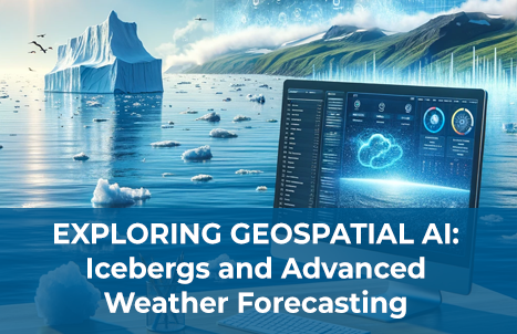
Exploring Geospatial AI: Icebergs and Advanced Weather Forecasting
AI is everywhere. ChatGPT made headlines with its initial release in November 2022, and just over a year later here…

Canadian Geospatial Digest for February 12th, 2024
Laurier Professor Charts Northern Ice Roads A Laurier professor pioneers the mapping of northern ice roads, crucial lifelines in remote…
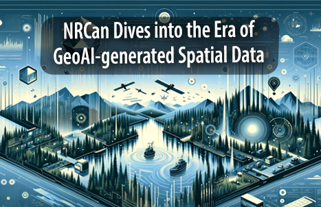
NRCan Dives into the Era of GeoAI-generated Spatial Data
What is GeoAI? GeoAI is an abbreviation for Geographic Information Systems and Artificial Intelligence, representing a powerful amalgamation of spatial…
Canadian Geospatial Digest October 16, 2023
New BC LiDAR Program Enhances Climate Resiliency and Land-Use Planning Satellite Photos Capture BC Wildfires AI in the Forestry Sector:…
Canadian Geospatial Digest July 24th, 2023
‘Incredible geo-cultural landscape’ is being mapped using a drone. FireSmoke Canada Interactive Map Sea ice in Hudson Bay is melting…

International Geospatial Digest July 17th, 2023
Singapore Land Authority Utilizes Bentley Systems for Digital Twin and 3D Mapping Addressing the Slow Adoption of Technology in Developing…
Canadian Geospatial Digest May 1st, 2023
The sky’s the limit as SAIT launches Canada’s first remotely-piloted aviation training centre NASAMS air defence systems, now deployed in…
International Geospatial Digest February 27th, 2023
1. TuneIn Explorer: How To Discover Local Radio Stations On A World Map 2. Satellite data reveals long-term drought conditions…

International Geospatial Briefing for August 22nd, 2022
Mapping Earth’s deepest points, the collision of Geology and Geospatial ISS to get a new hyperspectral remote sensing lab A…

Canadian Geospatial Digest for August 15, 2022
Apple Maps is Coming to Your City this Summer, Satellites show World’s Largest Beaver Dam, Who lives in Canada’s Hottest…
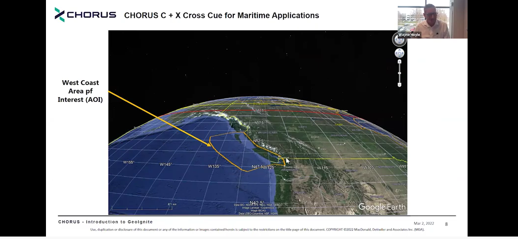
MDA Introduces Its Next SAR Mission: CHORUS
This Statellite Will Change How You See The World At the GeoIgnite, Winter Geo conference on March 2, 2022, during…
