
software

Discover ITRES at the GoGeomatics Expo
We are thrilled to announce that ITRES is exhibiting at the GoGeomatics Expo, Nov 6-8th in Calgary. ITRES (1979) is…

TopoDOT: How to Choose the Best Point Cloud Processing Software
Originally published by Mike Cook on September 2, 2021. You got a point cloud, great! Now what? You need a…
Eos Positioning Systems joins Calgary expo tradeshow
GoGeomatics Expo Welcomes Eos Positioning Systems, known as Eos, is a designer and manufacturer of high-accuracy GNSS hardware and related…
CHC Navigation joins the Calgary 2023 GoGeomatics Expo
GoGeomatics Expo Welcomes CHC Navigation (CHCNAV) is a global provider of innovative GNSS navigation and positioning solutions covering a wide…

Introducing OASIS, a New Project by Deploy Solutions
Deploy Solutions is offering a new service to share the insights, research, expertise, and technology from original climate-change software. This…

Canadian BIM and Digital Twin Digest for July 28th, 2022
BIM Contracting and Infrastructure Digital Twins Businesses can improve on operating infrastructure assets by changing the way they use BIM…
TopoDOT Compares Data and Applications of UAV and LiDAR Point Cloud
On April 5, 2022, LiDAR COMEX 2022 held a live stream presentation on “data comparison and applications of UAV imagery-based…

Cansel Discusses Innovations in LiDAR: Latest Technologies Across Industries
On April 5, 2022, LiDAR COMEX 2022 held a live stream presentation by Cansel. The topic of “Scan to BIM…

InfraMappa Introduces Software to Assist Construction Planning and Execution
Construction companies are saving time and money by using a new software that enables them to view virtual sites. On…
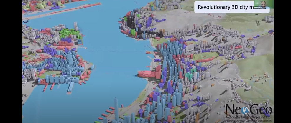
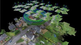
NeoGeo Technologies Ready to Grow in Canada
Award Winning Company Eager to Provide Solutions A livestream on March 3, 2022, from the GeoIgnite, Winter Geo conference, delighted…

Building Software Solutions for Climate Change: Closing the communication gap between citizens and trusted authorities before, during, or after a disaster.
A Climate Change Problem: The Communication Gap between Citizens and Authorities At a time of rising climate change impacts, there…
GIS & Beyond: Smart Software Solutions Made In Poland from GISPartner, GeoIgnite 2021 Talk On YouTube
Day Three of the GeoIgnite conference featured Gold Sponsor GISPartner. They continue to make waves as a dynamically developing European…
