
solutions

TopoDOT Presents Leveraging Point Cloud Project Data for Effective Support of 3D Design/Construction Processes at Lidar CANEX 2023
Jennifer Triana, TopoDOT’s Director of Business Development, presented a livestream talk on Leveraging Point Cloud Project Data for Effective Support…

SUMSF 2023: Reduct Presents the Importance of 3D Gyroscopic Pipeline Mapping Technology
A livestream presentation of 3D Gyroscopic Pipeline Mapping Technology was given by Otto Ballintijn, CEO of Reduct NV, during SUMSF…
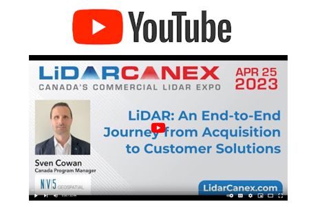
NV5 Takes Us On a Journey From Acquisition to Customer Solutions During Lidar CANEX 2023
It was a pleasure for the longtime supporter of GoGeomatics and GeoIgnite events, NV5 Geospatial, to join Lidar CANEX 2023…
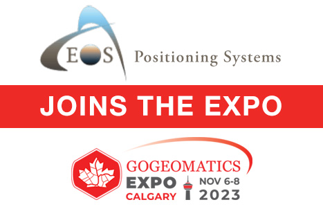
Eos Positioning Systems joins Calgary expo tradeshow
GoGeomatics Expo Welcomes Eos Positioning Systems, known as Eos, is a designer and manufacturer of high-accuracy GNSS hardware and related…
New Edition of GIS Management Handbook Now Available
The GIS Management Handbook, 3rd Edition, has hit the shelves. This handbook covers concepts, practices, and tools for planning, implementing,…
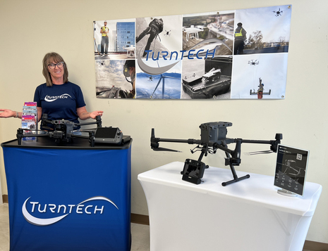
Reaching New Heights: Profile on TurnTech Solutions’ Mia Gabrielson
Life is a journey, and sometimes it takes time to reach the place we were meant to be. Mia Gabrielson was…

Sparkgeo Uses a Geospatial Lens to Look at Earth’s Issues on a Planetary Scale
Cadell Asks Us To Rescale Our Way of Thinking The keynote speaker for GeoIgnite, Winter Geo conference on March 2,…
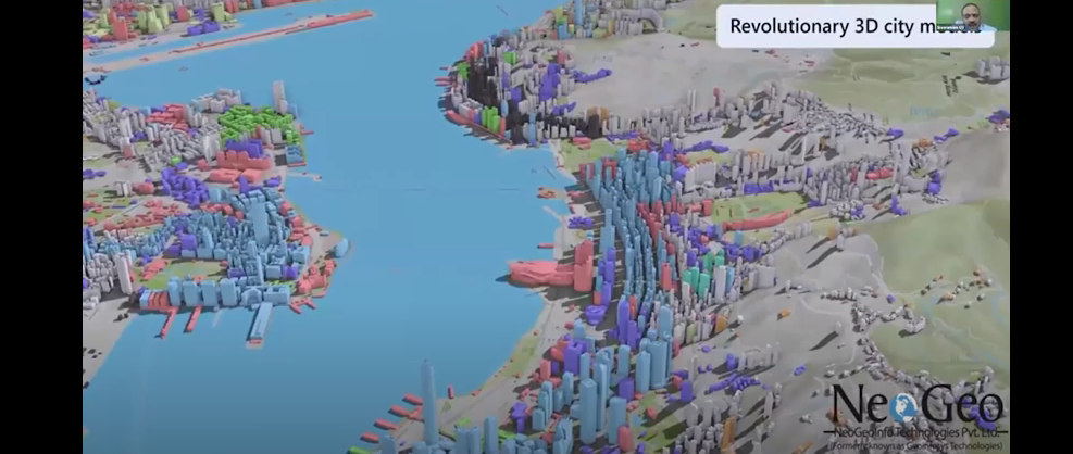
NeoGeo Technologies Ready to Grow in Canada
Award Winning Company Eager to Provide Solutions A livestream on March 3, 2022, from the GeoIgnite, Winter Geo conference, delighted…

Deploy Software Solutions Fills in the Communication Gap When Needed Most
Improving Communication Between Citizens and Authorities During Disasters During GeoIgnite, Winter Geo livestream on March 2, 2022, Nick Kellet, Founder…
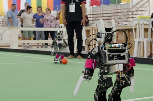
Geo Soon: Coaching Robots
Continuous surveying, to support smart cities, infrastructure, geodesign, and construction, is opening expanded—but unconventional—roles for surveyors and geospatial practitioners. “Put…

Google Earth Engine – What is a Data Cube and Why Canadians Should Care
What is a data cube and how is it used for big data analytics? How does a data cube work…

Master’s Thesis Student Recruitment: Amphibious Housing in Vietnam
University of Waterloo searching Funded Master’s (MA or MES) research project Dr. Carrie Mitchell (UW-Planning) and Dr. Brent Doberstein (UW-Geography…
