
Yukon

Canadian Geospatial Briefing March 21st: 1. Developing a subsurface digital twin for Canada. 2. Putting Indigenous knowledge on the map. 3. Mapping all flood prone areas in the Yukon. 4. Environmental impact of trucker protest. 5. Using AI to measure urban sprawl in Canada.
The Virtual Subsurface Utility Mapping Strategy Forum Conference 2022 presents a panel on developing a subsurface digital twin for Canada…

Ten Interesting Facts about the Geography of Canada
This year Canada will celebrate its 150th birthday on July 1st. Most of you, like me, will be out celebrating…

A List of Geospatial Open Data Resources in Canada
Recently, I read an article about the Canadian Geospatial Data Infrastructure (CGDI) that seeks to explain why the CGDI, among many…

Canadian GIS Ambassador Program: Interview with Brent Hall, Director of Education & Research at Esri Canada
Interview with Brent Hall, Director of Education and Research at Esri Canada and, along with his staff, the initiator of…
Government of Yukon Wins 2016 Esri Special Achievement in GIS Award
SAN DIEGO, Esri User Conference—June 29, 2016—Esri Canada congratulates the Government of Yukon for receiving the 2016 Esri Special Achievement…

Esri Technical Associate Certification: how I passed the test
A few months ago, I decided to obtain the Esri Associate certification for ArcGIS Desktop and wrote about my reasoning here. …
10 Canadian Border Disputes that Shaped our Country
Canada is one of the wealthiest countries in the world, the second largest country based on land mass, and a…
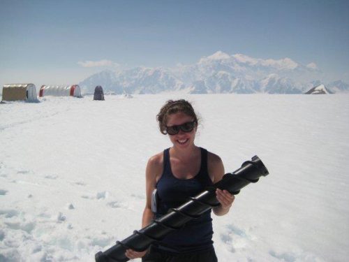
Stephanie Murphy – GIS Analyst for the R.C.M.P
GoGeomatics Canada would like to welcome one of their editors, Stephanie Murphy. Stephanie graduated from Ryerson University with a Master…
