

Your International Geospatial Briefing for January 11th : EA images major 2020 events; Maps are the future of smart cities & AV; Airbus-built CSO-2 French military Earth Observation satellite launched successfully; 2021 predictions for the drone industry; Indian Armed Forces ‘Reject’ Defense Ministry’s plan to ease norms On Geospatial Mapping.
Satellite images capture major events of 2020.
The pandemic brought the world to a grinding halt in 2020, however that did not stop satellites from orbiting the Earth. In this article, notable events that shaped 2020 were temporally captured by satellite images across the world. Some of the notable global events that are: COVID outbreak in Wuhan, China, the bushfires of Australia, Black lives Matter, Russia oil spill, and Beirut blast.

https://www.geospatialworld.net/blogs/satellite-images-capture-major-events-of-2020/
Digital Maps to hold the future of smart cities, autonomous cars, and much more.
Autonomous vehicles demand a huge amount of data to effectively transport passengers form point A to B without endangering them in anyway. They need to locate every object in the way, know every road feature, every turn and tunnel, this has necessitated the need for an accurate 3D map than ever. Advances in mapping through AI and IoT could make this happen and more developers are improving 3D mapping for autonomous vehicles and moving toward ‘living maps’.
Airbus-built CSO-2 French military Earth Observation satellite launched successfully
Earth observation satellites which were built by Airbus for the French Armed forces have been successfully launched. The satellites are part of the CSO-2(Composante spatiale optique) which will provide high resolution geoinformation intelligence to the French Armed Forces and to its partners in the frame of the MUSIS cooperation program (Multinational Space-based Imaging system for surveillance, reconnaissance, and observation). The satellite’s tremendous agility and stability gives it the unique ability to quickly provide users with extremely high-quality images from the space instrument.

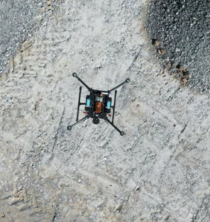
2021 predictions for the drone industry.
The drone industry experienced a breakthrough in 2020 majorly because essential industries needing to provide efficiency and worker safety quickly embraced the technology. This year, more companies will embrace drones and scale it to fit their operations. Although, industry regulations and policy changes will streamline its application. New waves of cross industry collaboration resulting in diverse drone offerings, improved workflows and integrated payloads would also be experienced.
https://www.geospatialworld.net/blogs/2021-predictions-for-the-drone-industry/
Indian Armed Forces ‘Reject’ Defense Ministry’s Plan To Ease Norms On Geospatial Mapping
India’s ministry of defence has proposed allowing geospatial mapping of border areas and coastlines by private players. However, on the 30th of December the Indian armed forces rejected the proposal for an un-resisted mapping in ‘no-go’ zone. The armed forces contention suggests that geo-saptial software and equipment that comes from abroad would hamper national security.

