Tags:
, , , , , , , , , , , , , , , , , , , , , , , , , ,

ACLS National Surveyors Conference 2013 Day 1

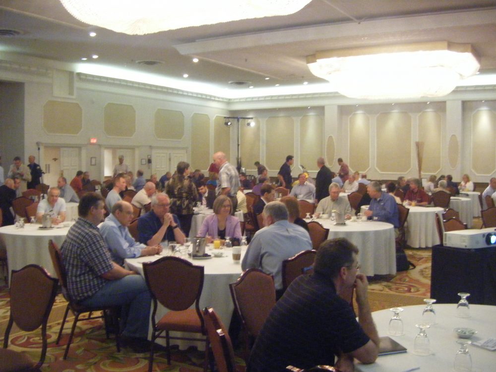
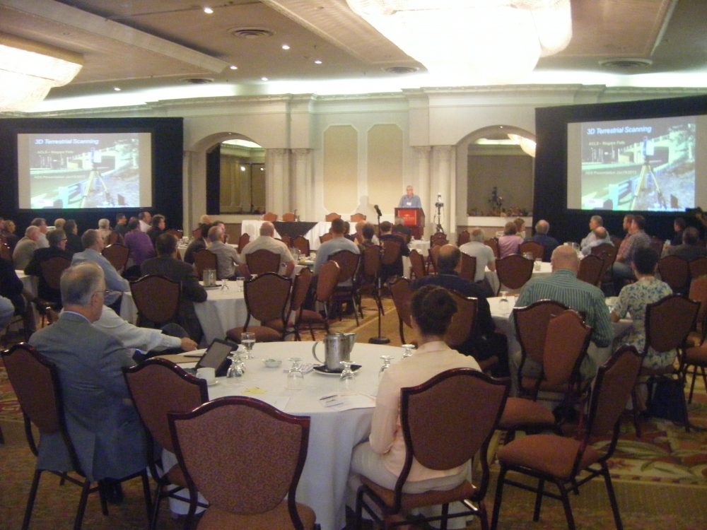
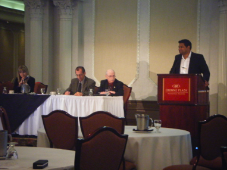
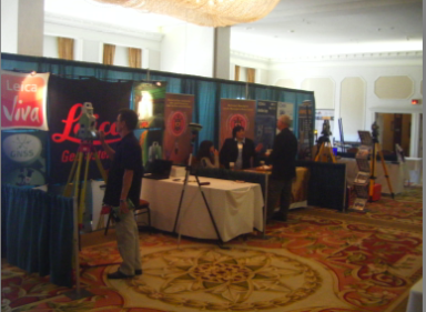
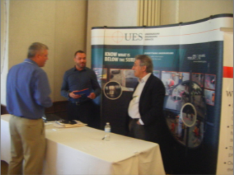
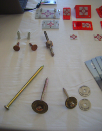
GoGeomatics Canada is excited to attend the Association of Canada Lands Surveyors (ACLS) National Surveyors’ Conference 2013. These are the pictures from today. The morning began with presentations with a seminar on HDS and Mobile Scanning, followed by an inspirational keynote speaker Summer Mortimer and then a workshop on Recruiting and Retaining the Best and Brightest in the afternoon. There are ten exhibitors; Butler Survey Supplies, Cansel Survey Equipment, GoGeomatics Canada, Leica Geosystems Ltd., Mosaic Hydro, National Aboriginal Land Managers Association, Sokkia Corporation Canada, T2 Utility Engineers Inc., Tekmet and UES Promark-Telecon Inc., with booths set up for the participants to enjoy.

ACLS Conference

Participants settling in for the morning seminar on HDS and Mobile Scanning

DSCF1953

Murray Shantz, Mark Tulloch and Tim Blak present the HDS and Mobile Scanning Seminar.

Picture 11

From left to right: Bronwyn Denton, Paul Burtnick, Guy Craig, Suntil Bisnath

Picture 12

Exhibitors from left to right: Leica Geosystems Ltd., National Aboriginal Lands Managers Association, Sokkia Corporation Canada.

Picture 14

Exhibitor Booth: UES Promark-Telecon Inc.

Picture 15

Related Articles

Google Earth Engine – What is a Data Cube and Why Canadians Should Care

What is a data cube and how is it used for big data analytics?  How does a data cube work…

Remote Sensing QGIS: Semi-Automatic-Classification Plugin (SCP)

Semi-Automatic Classification Plugin   Today I’m going to take a quick look at one of the remote sensing plugins for…

GIS in Action: How Does BC Pinot Noir Express Terroir?

Editors note: In this previously published article, Karl Kliparchuk, BCIT GIS Program Head & Instructor uses GIS to explore the…