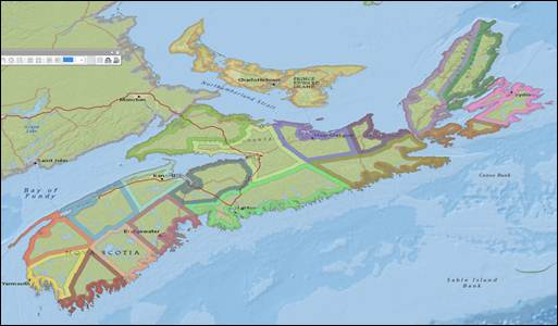
Advertise with us
  • Support
  • Subscribe
  • Find a Job
  • Volunteer
  • Login
  • Community
  • Education & Careers
  • Technology
  • Newsmakers
  • GeoIgnite Events
  • Associations
  • Education Programs
  • Event Calendar
  • GoGeomatics Meetups
  • Open Data
  • Support
  • Subscribe
  • Find a Job
  • Volunteer
  • Login
  • Community
  • Education & Careers
  • Technology
  • Newsmakers
  • GeoIgnite Events
  • Associations
  • Education Programs
  • Event Calendar
  • GoGeomatics Meetups
  • Open Data

ArcMap version of “banded” polygons

NS Counties with colour bands around inside of each polygon

Share
No comments

You must log in to post a comment.

Previous post:
“Bands” Around Edges Of Polygons – ArcGIS Online Tip
Next post:
  • About Us
    • Contact Us
    • Start a GoGeomatics Group
    • Editors & Writers Group
    • Terms of Use
    • FAQ’s
  • Magazine
    • Community
    • Education & Careers
    • Technology
    • Newsmakers & Press Releases
  • Resources
    • Associations
    • Education Programs
    • Open Data
    • GoGeomatics Meetups
  • Services
    • Career Coaching
    • Geospatial Career Seminar Service
    • Resume & Cover Letter Writing
  • Marketing
    • Our Clients
    • Advertising
    • Marketing
    • Writing Services
    • Web Design
    • 2023 Media Kit

Connect

Newsletter Signup

GoGeomatics is the largest and most popular communications hub promoting the Canadian geospatial community. The business was incorporated in 2011. GoGeomatics hosts over 100 fun, free, location technology networking events each year in cities across Canada.

© 2023 GoGeomatics