|Geotech-leaderboard-2023|GeoTech-banner-2023-800x167")
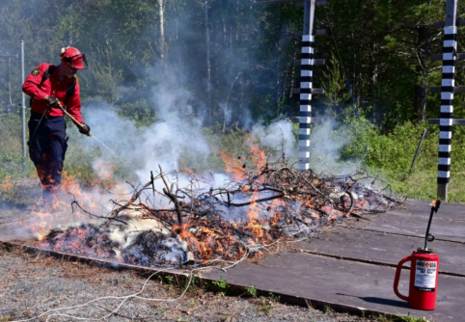
Each year in Canada, 7500 wildfires burn 2.5 million hectares (about the size of Nova Scotia). That number is projected to double by 2050.
Although Canada is a world leader in wildfire management, wildfires are a serious challenge. Climate change is being accepted as the reason for longer wildfire seasons, extreme weather, and increased droughts. The Fort McMurray fire cost about $9 Billion. Current tools are just not adequate. Observation from space is the only way to get the amount of precise information needed, but even with current satellites, the current long blackout periods are ineffective for monitoring fires during “peak burn periods.”
Help is coming. A new satellite, WildFireSat, is scheduled to be launched in 2029 for a five-year mission (with a possible extension). Its mission is to increase Canada’s ability to monitor wildfires. It will allow firefighting to learn and grow to match the changing nature of the fires.
WildFireSat is an initiative by the CSA Group (CSA), Natural Resources Canada (NRCan), Canadian Centre for Mapping and Earth Observation (CCMEO), Environment and Climate Change Canada(ECCC), and the Canadian Forest Service (CFS).
WildFireSat will consist of satellites with infrared sensors that will measure the energy emitted by wildfires, called Fire Radiative Power(FRP), as well as monitor all active Canadian wildfires from space, provide up-to-date information on air quality and smoke conditions, and measure carbon emitted by the wildfire. The WildFireSat will work along with current satellites to broaden the understanding of wildfires’ changing behaviour.
Click here to learn more about this mission.


Be the first to comment