
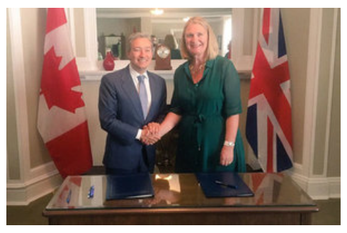
UK and Canada Space agencies sign MOU on joint activities and information sharing
The UK Space Agency and the Canadian Space Agency have signed a Memorandum of Understanding on joint activities and information sharing on space, the British High Commission Ottawa reported. The MoU was signed in Dubai at the annual International Astronautical Congress (IAC 2021).
The UK and Canada have a history of collaborating on scientific research from Covid-19 to genomics and AI to Quantum technologies. The new agreement calls for collaborative activities and the exchange of information, technology, and personnel between the nations.
Both countries recognize that research, technology, entrepreneurship, and innovation are fundamental to mutual economic growth. Objectives include:
- facilitate increased access to technology, markets, and talent
- build linkages between research activities, foster partnerships between academia, government institutions, and businesses
- encourage the sharing of best practices between the research and innovation ecosystems of both countries.
More broadly, the MOU hopes to build on cooperation in the space, science, technology, law, regulation, and human capital development areas. To learn more, click here.
Flood-impact map a Canadian first: Western researcher Slobodan P. Simonovic shows how – and where – flooding will put humans and property at risk under changing climate
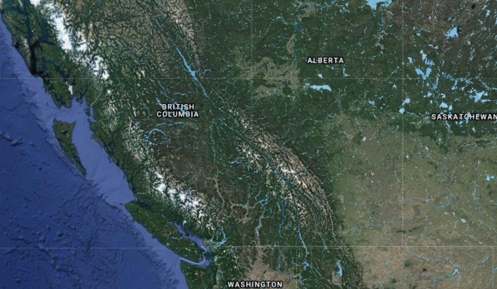
A Western University flood-control expert has developed the first Canada-wide maps showing how floodplains – including low-lying areas of major cities like Vancouver and Montreal – may become inundated in the next 80 years under various climate change scenarios.
About four million Canadians now live in flood-affected areas, which means they will be at increased risk in the coming decades. Engineering professor Slobodan Simonovic’s mapping tool is a deep dive into one consequence of more frequent, and more intense, extreme weather induced by climate change.
“What we used to call 100-year floods in London, for example, are taking place now once every 30 years,” he said. “Floods are killing people around the world, and in countries you wouldn’t expect, such as Germany, the U.S., and Japan. A year’s worth of rainfall recently fell, in just three days, in central China.
The maps are a visual distillation of almost 150,000 reference documents – including current and historical rainfall and snow-melt run-off data, topographic analyses, hydrodynamic modeling, urbanization, and deforestation factors that impede effective drainage, plus a range of climate projections. Using this data, Simonovic has superimposed on web-based maps current and future flood frequency, flood depths, flood inundation, and flow velocity. His predictions are dire: up to 30% more of Canada may be underwater by 2100, and flood depth may increase by up to 60%.
Bell and Esri Canada deliver Integrated Smart City Ecosystem to empower Canadian communities of all sizes
Bell and Esri Canada have partnered up to create the Bell Integrated Smart City Ecosystem. This integrated solution will combine Bell’s award-winning 5G network and Internet of Things (IoT) solutions with Esri’s real-time analytics and location intelligence capabilities to help cities of all sizes across Canada become connected communities, empowering them to realize their smart city ambitions.
The Bell Integrated Smart City Ecosystem enables Canadian communities to accelerate their digital transformations, leading to enhanced decision-making and streamlined collaboration across municipal or regional departments. The platform collects, integrates, and displays data in one seamless end-to-end experience, enabling multiple stakeholders to make decisions from a shared view that provides a broader and clearer context for all involved. Cities can customize the solution, building on top of their existing location intelligence investments, or access multiple pre-integrated IoT solutions with customized reporting and automation of processes.
Embracing smart technology will facilitate city-wide innovation, drive efficiency, open new revenue streams, helps meet targets for sustainability, and ultimately provides a better experience for all. Find out more here.
Government of Canada supports world-leading Canadian satellite-based emissions detection system
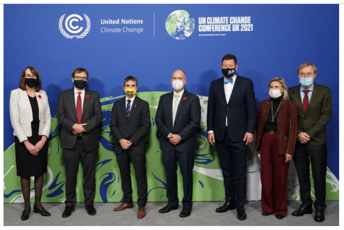
At the COP26 climate summit, the Minister of Innovation, Science and Industry, and the Minister of Environment and Climate Change, announced an investment of $20 million in GHGSat, of Montréal, Quebec, through Sustainable Development Technology Canada (SDTC).
GHGSat will use this funding to expand its fleet of high-tech satellites that track greenhouse gas emissions from the Earth’s orbit. Its space-based system for greenhouse gas monitoring uses spectrometer imaging to obtain high-resolution images of methane emissions. This technology will provide critical information to take action in the fight against climate change.
GHGSat also plans to establish a secure infrastructure to manage its growing constellation of satellites and transform its data into high-value information products and analytics. Using its microsatellites, GHGSat is the only entity in the world capable of detecting methane emissions from sources 100 times smaller than those detected by other satellites. Its technology can detect and quantify methane emissions from point sources as small as individual oil and gas wells.
GHGSat will share its archive as well as provide new information collected by its satellites. IMEO (International Methane Emissions Observatory) will integrate this high-resolution data with publicly available satellite emissions datasets to develop new data products that will be made freely available to stakeholders including legislators and climate scientists, and support their work to achieve emissions targets set out in their nationally determined contributions (NDCs) to the Paris Agreement.
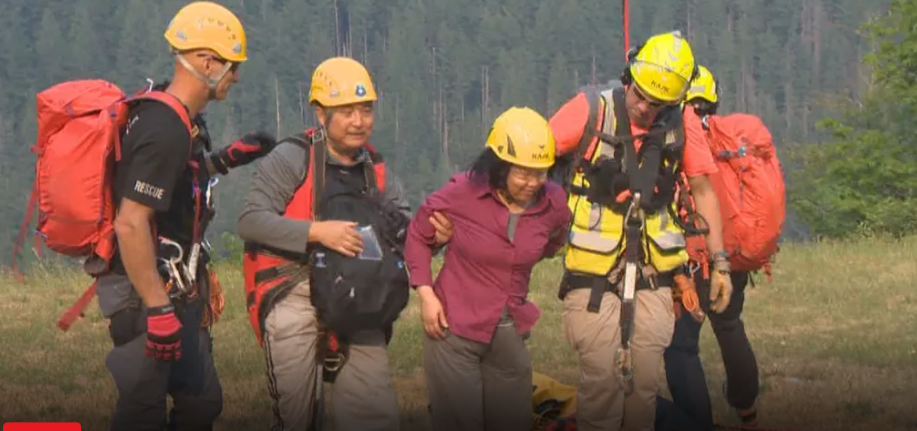
Different perspectives on the use of the ‘What3Words’ app during Search & Rescue emergencies
What3Words is a proprietary phone application, popular in the U.K., that uses a grid system to help locate people who are lost or injured. The free app divides the world into three-metre squares and assigns each with a unique combination of three random words, which allows first responders to pinpoint the exact location of an emergency.
North Shore Rescue is reiterating that it does not support a rescue app being promoted by North Vancouver RCMP, saying the best option for those lost or injured in the backcountry is to simply call 911. North Vancouver RCMP has encouraged all British Columbians to download the geolocation technology. Emergency services in other parts of Canada have also encouraged the public to download the app.
North Share Rescue’s reasoning lies in the fact that SAR crews have other, more reliable technology at their disposal than third party apps. For example, SAR teams can simply track GPS coordinates through text. However, a recent survey of partner Canadian emergency control centres that they all reported that What3Words “reduces response times when it matters most”.


Be the first to comment