
Learn about the current state, and predictions for the future, of Earth observation. This program brings together leading experts to explore the cutting-edge applications of earth observation, satellite imaging and geospatial data analytics. Participants can expect to gain insights into how earth observation technologies are being utilized to monitor and understand our planet’s ever-changing environment, from tracking climate change and natural disasters, to managing natural resources and urban planning.
Presentations & Discussions
Agile Aerospace for a Changing Planet
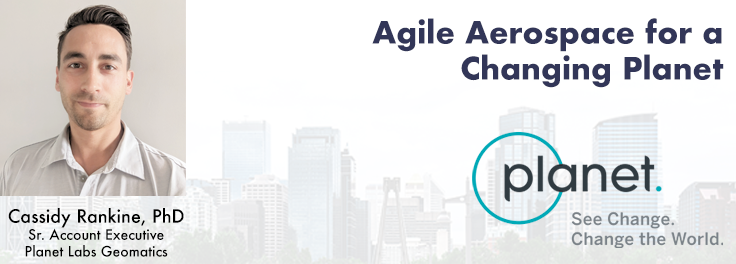
Planet scans the entire land mass of the planet nearly everyday with high resolution multispectral imagery, enabling exciting new opportunities and solving old challenges for digital transformations and sustainable business acceleration. In this session we will shed light on what it means to be an agile aerospace company. We will take a closer look at how our latest generation of sensors in the largest ever Earth Observation constellation, Planetscope, is empowering today’s leaders in ESG solutions and further explore what’s new on the horizon with Planet’s agile aerospace approach.
New Space: Addressing Canada’s Challenges in Wildfire, Emissions & Natural Resource Management
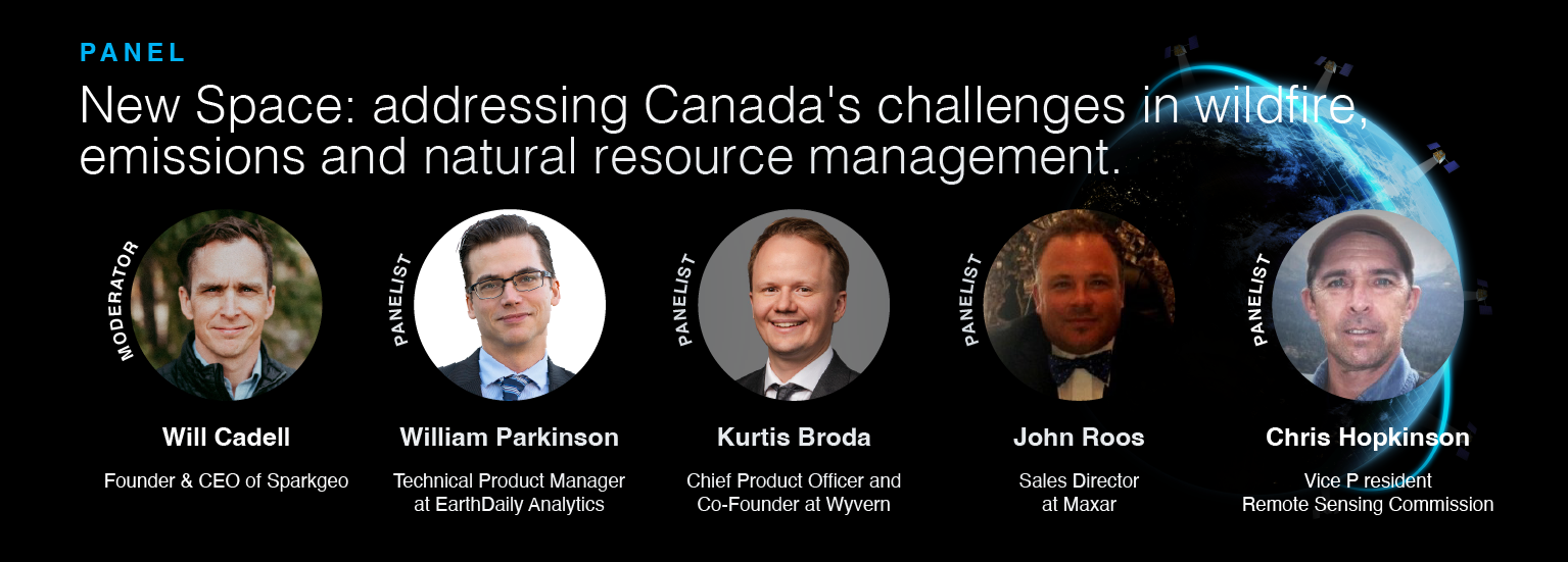
In the face of escalating environmental challenges, Canada grapples with the urgent need for advanced solutions in wildfire monitoring, emissions reduction, and natural resource management. This panel discussion explores how the burgeoning “New Space” frontier offers innovative approaches to address these critical issues. The goal is to inspire a collective effort to tackle the pressing challenges of wildfires, emissions, and natural resource management in Canada.
The Importance of Scientific Quality Data in Applications of Change Detection
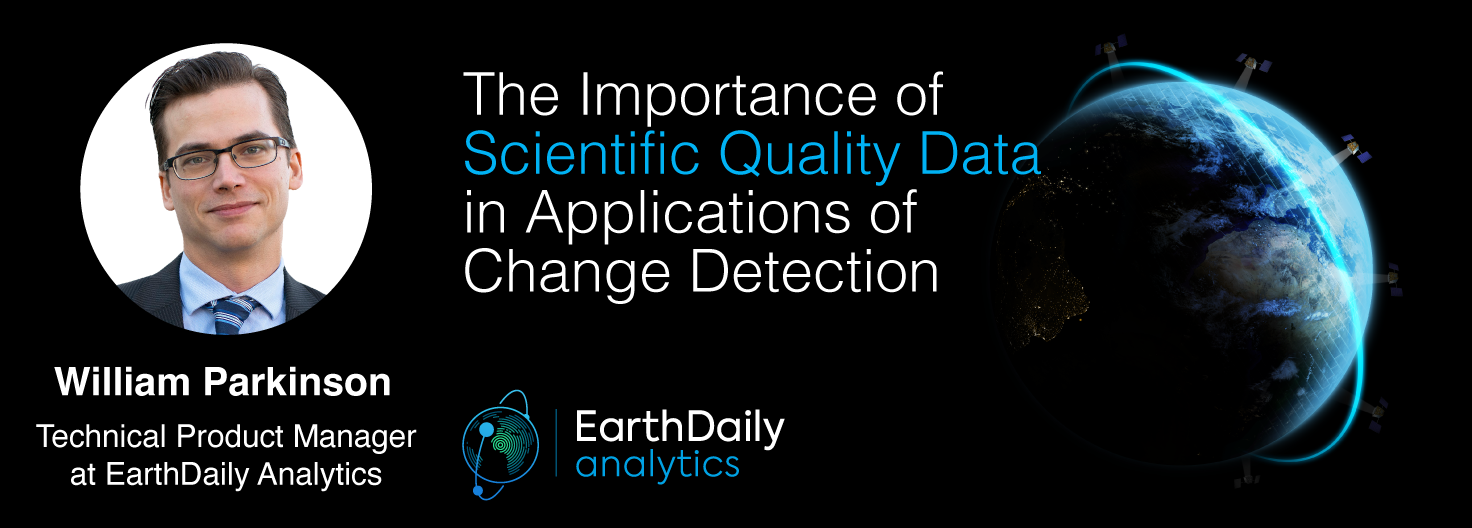
There is a pressing need for a global change detection system capable of persistently monitoring the entire earth with globally consistent coverage, temporally consistent sampling, scientific-grade geometric and radiometric quality and cost-effective management of daily data. The EarthDaily Constellation (EDC) has been designed to meet the need for a persistent coverage mission. The EDC global land coverage mission will address challenges in food security, soil protection, water optimization, climate change response and mitigation, ESG accountability, disaster response and more.
Cloud Native Geospatial Systems: COPC Datasets, STAC Integration & Large-Scale Processing Techniques
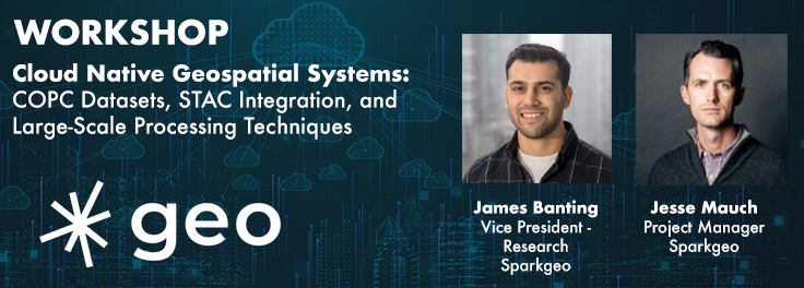
The workshop focuses on the role of Cloud Optimized Point Clouds (COPC) datasets and the SpatioTemporal Asset Catalog (STAC) within geospatial cloud systems. Attendees will gain insights into the Pointcloud Data Abstraction Library (PDAL) and the nuances of creating cloud-native metadata. Demonstrations will showcase practical methods for managing and processing large datasets in cloud infrastructures.
Modelling Wetland Vegetation Trajectories Using Machine Learning & Multispectral Sentinel-2 Imagery
Wetlands are important to water quality, nutrient cycling, and biodiversity, and have been identified as a management priority across Canada. Reclaiming wetlands that have been impacted can be a long-term, costly process depending on the type of wetland, location, and potential access constraints. Connacher Oil and Gas Limited and Matrix Solutions Incorporated are exploring the use of machine learning approaches to create a low-impact and cost-effective approach to assessment of wetland vegetation trajectories by linking field observations to multispectral Sentinel-2 imagery.
Multi-band SAR for Earth Observation & MDA’s Next Generation Chorus Constellation

The talk presents how multi-band SARs (X-band Iceye, C-band RADARSAT-2 and L-band SAOCOM) support various earth observation applications, such as target identification, change and displacement detection, and soil moisture map generation. Furthermore, it presents MDA’s next-generation Chorus constellation (combination of C-band and X-band SARs).
The Evolution of Planetscope Data & the Application of Planetary Variables
Beyond pure data, Planet looks to move up the data stack from pixels to insights. Planetary Variables are a key part of this, and measure key phenomena on the Earth’s surface, enabled by a virtual constellation of Planet and public sensors. Planetary Variables include Soil Water Content, Land Surface Temperature and Crop Biomass, with more on the way. The second part of this demo will introduce the audience to Planetary Variables, how they can be interpreted and consumed, and how they provide value across different use-cases.


Be the first to comment