
Technology

Event in Review: Geotechnologies for Resource Management
In January each year, the Centre of Geographic Sciences (COGS) combines an industry expo with a two day conference. This…

GeoIgnite 2020: Registration is now OPEN
Following the success of our inaugural event, Canada’s National Geospatial conference is back for 2020. Situated in Ottawa, our nations capital,…

Your International Geospatial Briefing for January 27th: ESA, Airbus join forces on the Space Station; Release of 2nd Edition of The GIS Management Handbook Announced; A Geospatial View of AR; Call for Sponsors: Canadian Geospatial Career Fairs are April 18th and 25th
ESA, Airbus join forces on the Space Station The European Space Agency (ESA) has booked a slot for a Norwegian…

Your Canadian Geospatial Briefing for January 20th: TECTERRA – 10 Years of Innovative Geospatial Tech; Esri Offers Free Online Course; OGC announces new GeoPose Standards Working Group; GeoIgnite 2020: Calling for Sponsors and Exhibitors
TECTERRA – 10 Years of Innovative Geospatial Tech In 2020, TECTERRA is celebrating its 10 year anniversary. This Alberta based…

National Geomatics Competition 2020
From the east to the west, the National Geomatics Competition (NGC) is now moving into Central Ontario as the University…

Your International Geospatial Briefing for January 13th: US Restricts Export of AI Related to Geospatial Imagery; Momentum Grows During Preparation for Geo Connect Asia 2020; UofG Students Killed in Iranian Plane Tragedy; BIM: How Important Is It For General Contractors?; Elements for improving underground utility mapping to reduce risk of damage during construction
US Restricts Export of AI Related to Geospatial Imagery On January 3rd 2020, the U.S. Bureau of Industry and Security announced…
Your International Geospatial Briefing for December 16th: CDO Driving Digital Transformation; NSGIS releases annual Geospatial Maturity Assessment; Realizing the Power of Geospatial Data; Using AI to Predict Traffic Flow
CDO Driving Digital Transformation In the last 5 years, more companies seem to be assigning Chief Digital Officers (CDO). A…
Your Canadian Geospatial Briefing for December 9th: 15 Teams Sign Up for 2020 UAS Competition; GeoIgnite 2020; Planit Measuring – New Ways to Build Digital Twins; Google’s “Smart City” in Toronto
15 Teams Sign Up for 2020 UAS Competition From May 1-3 2020, Southport Manitoba will host 15 university teams for…

CANADA’S NATIONAL ELEVATION DATA STRATEGY UPDATE
November 2019 HRDEM FOR THE ENTIRE CANADIAN ARCTIC! In August, Natural Resources Canada (NRCan) made available a new release of the High…
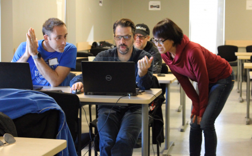
Hacking to liberate RADARSAT-1 data
How four individuals came together at the recent Ottawa Space Apps Challenge to create intuitive access to the RADARSAT-1 Catalog…
Your International Geospatial Briefing for December 2nd: Can Smart Cities Help You Without Compromising Privacy?; Surveying with Advanced Laser Scanning; Weather Agencies Object to 5G; Campus Work Begins for National Geospatial Intelligence Agency
Can Smart Cities Help You Without Compromising Privacy? Smart cities are built on data. Whether it is street sensors, heated…
Your Canadian Geospatial Briefing for November 25th: Mapping Toronto’s Most Bizarre Intersections; Canada’s 5G Network: USA issues warning; GeoVangelist Wins the 2019 Alex Trebek Medal for Geographic Literacy; Mapping Canada’s Hidden Treasure
Mapping Toronto’s Most Bizarre Intersections For most people from Toronto, when they think of what their city is known for,…
