

Remote Sensing is Finding Answers in the Northwest Territories
Remote Sensing is proving itself to be part of the solution when it comes to permafrost landslides in Northwest Territories.
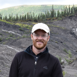
During the GeoIgnite 2022, Winter Geo, Canada’s National Geospatial Conference, March 1, 2022, livestream, Jurjen van der Sluijs, Unmanned Aircraft Systems Coordinator with the Northwest Territories Centre for Geomatics, spoke on the importance of remote sensing of permafrost landslides in the Northwest Territories.
The Northwest Territories are among the world’s most rapidly changing landscapes due to climate-induced permafrost thaw.
Permafrost regions make up 25% of the Northern Hemisphere’s terrestrial surface, creating an urgent need for getting improved information on the frequency and extent of permafrost thaw. The implications of permafrost thaw landslides spread into infrastructure, cultural and ecological environments.
“The flood sediment often makes its way downstream, affecting terrestrial and freshwater environments upon which local communities depend for food, travel, and cultural activities,” says van der Sluijs.
Van der Sluijs also noted during the GeoIgnite 2022, Winter Geo livestream, the nature of permafrost thaw is complex, and the implications of the “rapidly evolving conditions,” require innovative solutions. The latest geospatial solutions, including remote sensing that allows seasonal and annual observations, are proving to be one important way of meeting the informational needs. Remote sensing has impressively proved itself to give us a greater understanding of the implications of permafrost thaw, as well as increase the understanding of nature in the Northwest Territories. It has allowed studies on different scales, such as Field, Regional, and Landscape. This information has encouraged essential northern collaborations.
The GeoIgnite 2022, Winter Geo livestream included solutions such as geospatial, calibrated monitoring, subsurface characteristics, and field-based studies and monitoring. An informative Q and A session with van der Sluijs followed the livestream. You can watch this talk on Youtube below.


Be the first to comment