
On Monday, November 17, GoGeomatics visited Natural Resources Canada for their kick-off to Geography Awareness Week 2014. Invitations were extended to all NRCan departments to come out and learn what’s happening with the CCMEO – the Canada Centre for Mapping and Earth Observation. In July of last year, The Mapping Information Branch and the Canada Centre for Remote Sensing were combined into the CCMEO, and this event marked its first “coming out party”. GoGeomatics wants to say a big thank you for the warm welcome from NRCan, and especially Prashant Shukle, Director General, CCMEO, who graciously gave us a tour of the exhibitor booths.
We learned about so many innovative and interesting CCMEO initiatives at this event, and we’re going to be bringing you some of these stories in the coming weeks. Read to the bottom for a complete list of these stories, and stay tuned!
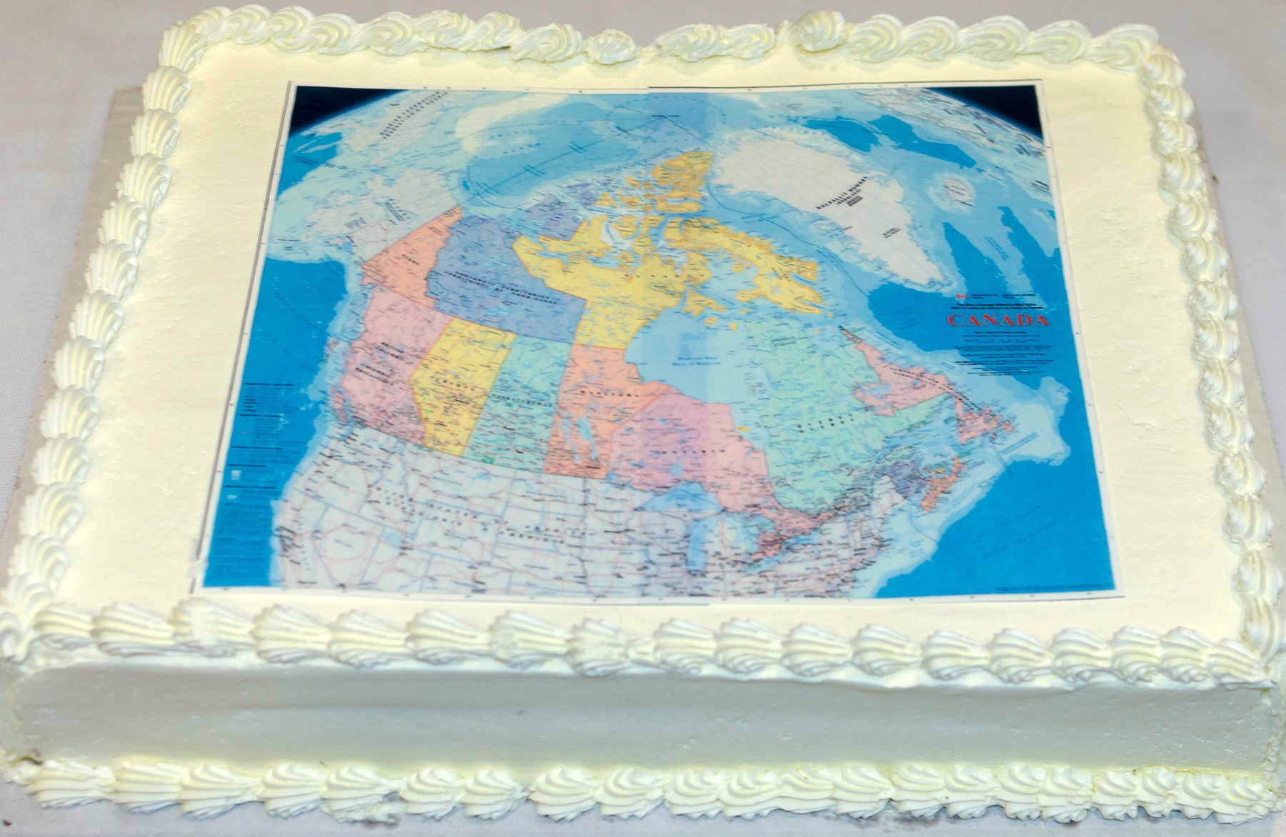
The event kicked-off with a speech from Prashant Shukle, who encouraged attendees to celebrate together and toast their future. Following this, Brian Gray, Assistant Deputy Minister, Earth Sciences Sector, cut the cake, which was fittingly decorated with a map of Canada. It was a sweet treat for a snowy Ottawa day.
Prashant Shukle
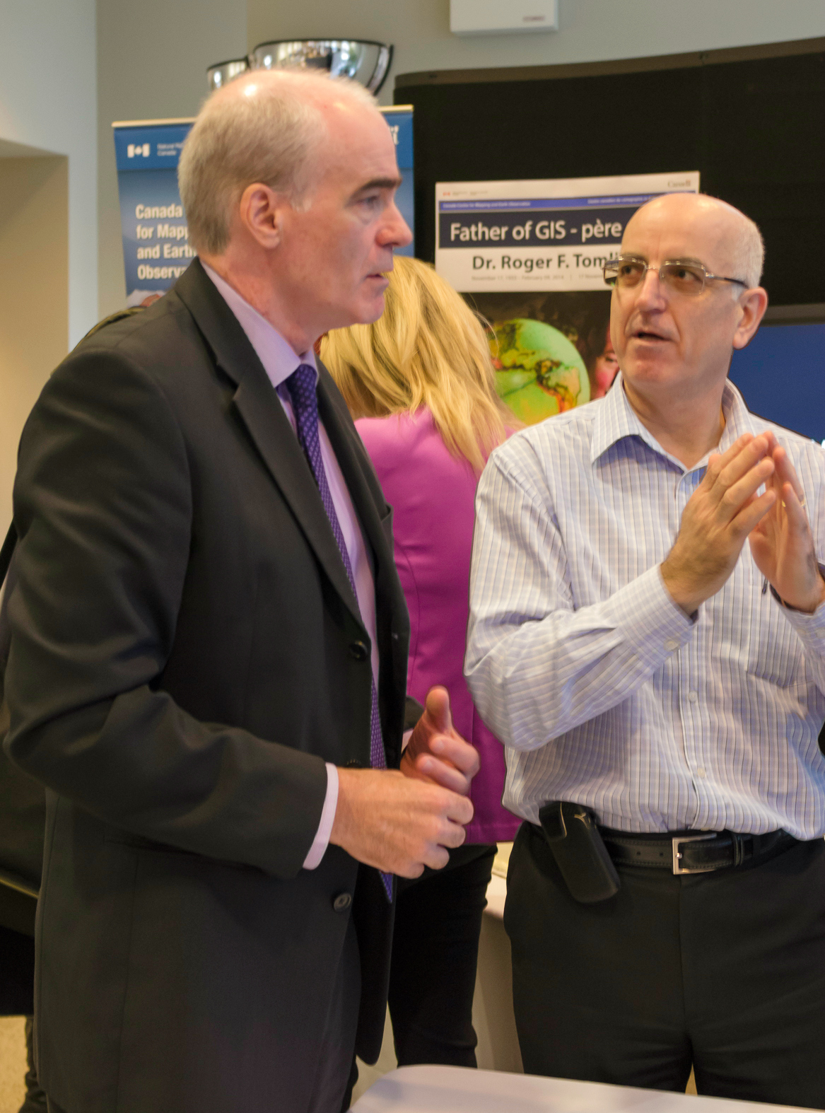
ADM Brian Gray (left) and Michael Harb (right)
The date November 17 is of great significance to the geo-community. It’s the birthday of the late, great Roger Tomlinson, the “Father of GIS.” Tomlinson was honoured with a featured exhibit booth and a tribute video about his life, alongside Dr. Lawrence Morley, founder of the Canada Centre for Remote Sensing.
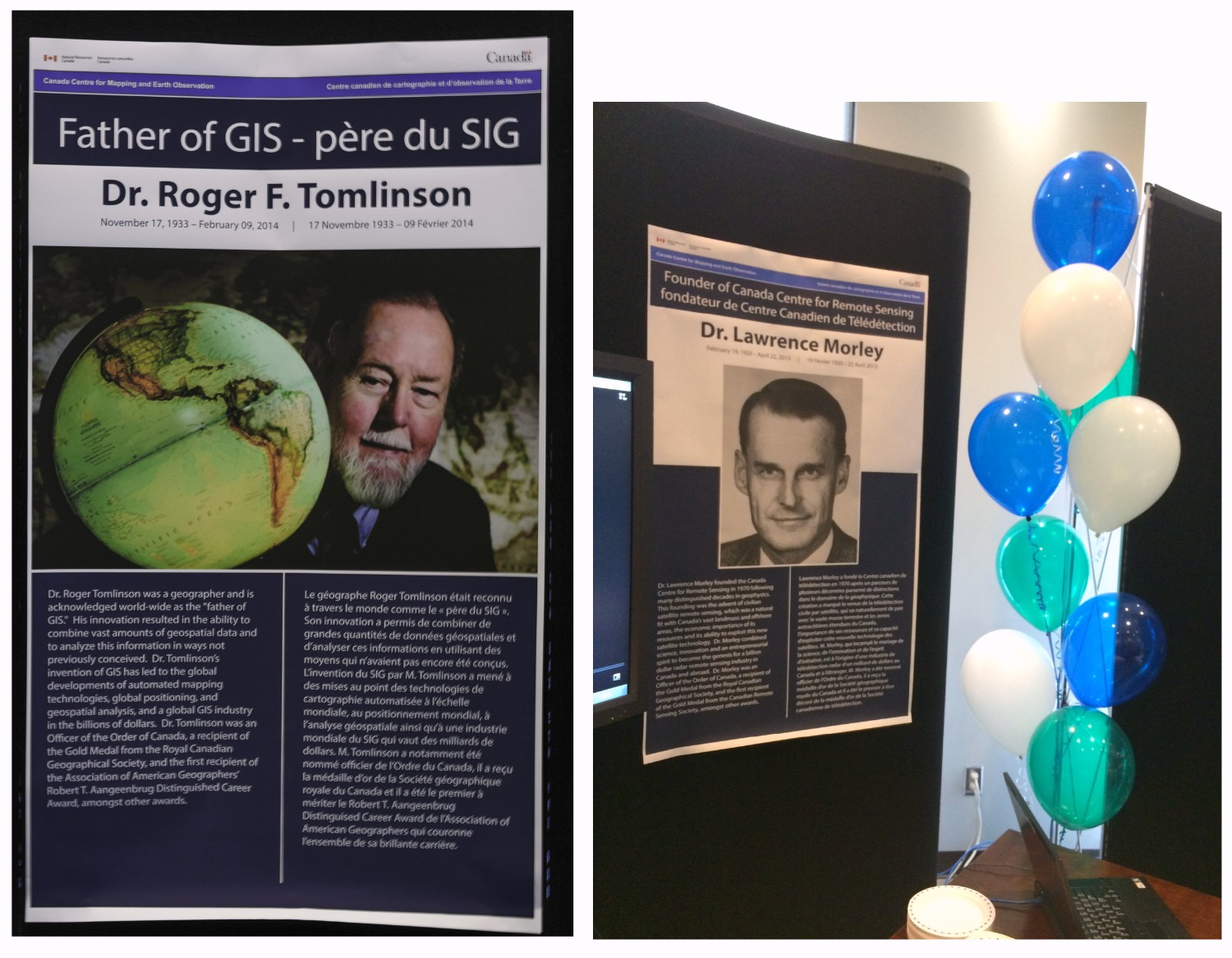 A tribute to Roger Tomlinson and Dr. Lawrence Morley
The main feature of the event was the GeoGallery Exhibit Hall, a bustling room featuring booths, maps, images and demos of various CCMEO products and services. The Exhibit Hall will be going on all week, and we strongly encourage anyone at NRCan to stop by. It was so inspiring to see first-hand what’s going on, and get to talk to the passionate folks who are working hard behind the scenes to provide geospatial solutions to our country and beyond.
Exhibitors include:
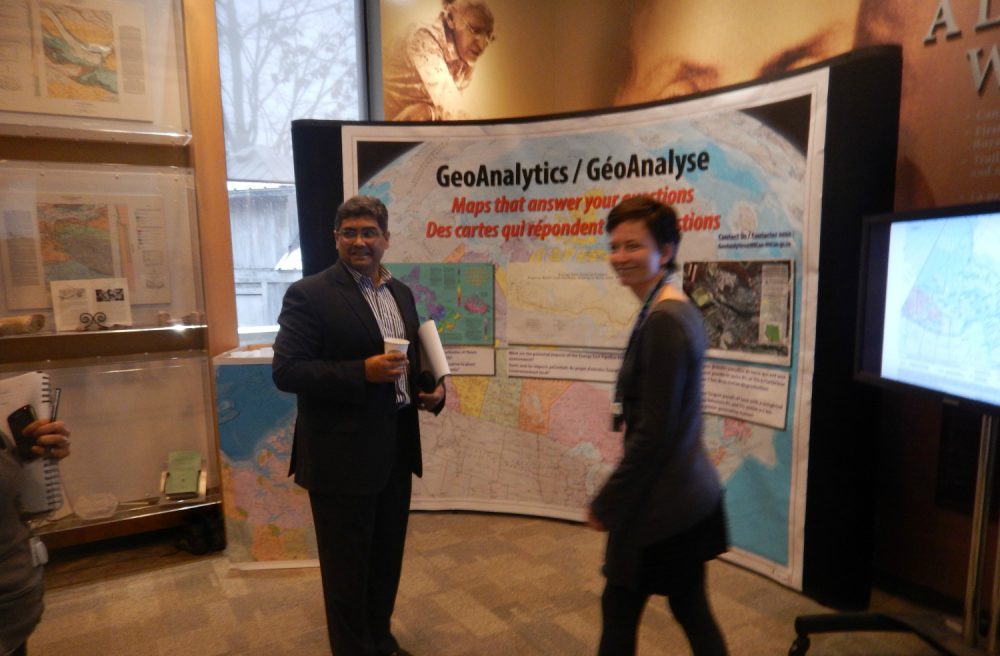
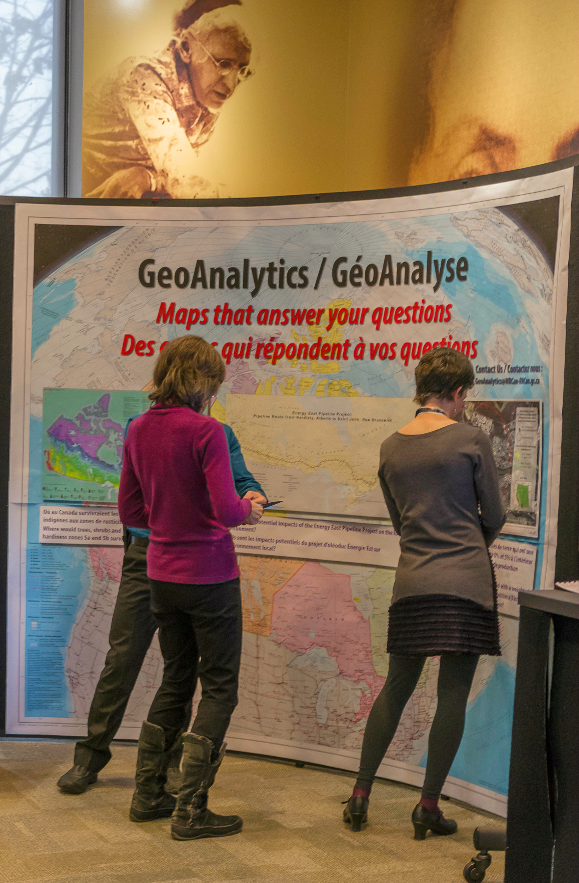
- GeoAnalytics
- Emergency Geomatics Services
- Federal Geospatial Platform
- Remote Sensing Science
- National Air Photo Library
- Geographical Names
- NRCan Satellite Stations
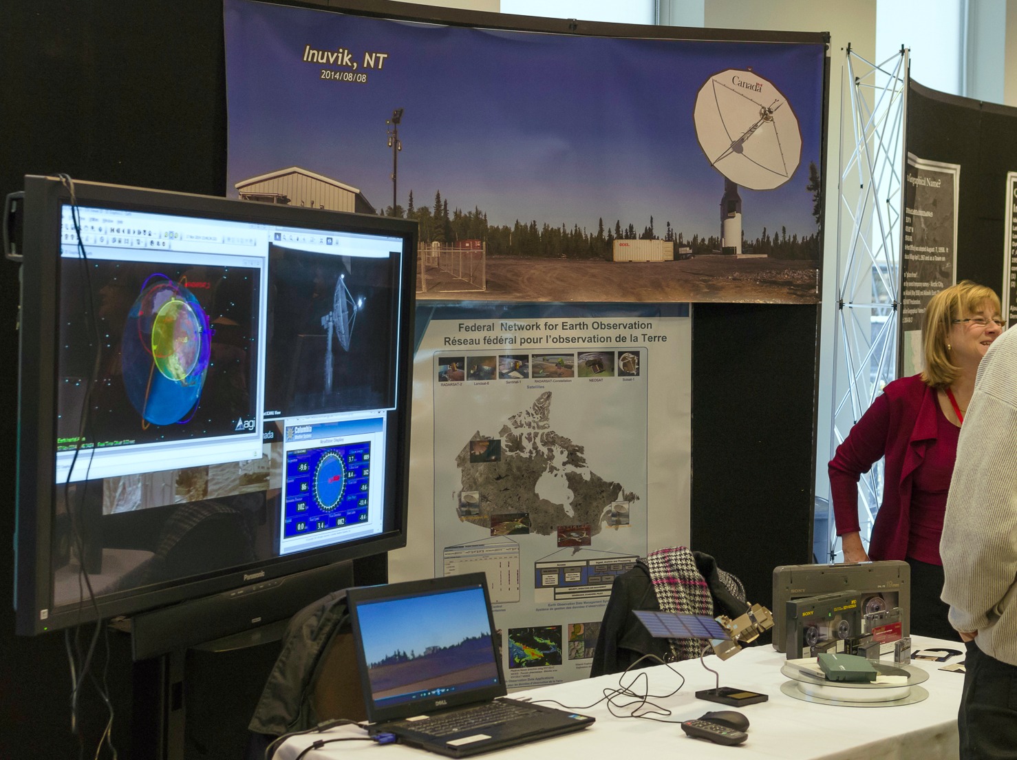
The exhibitor booth on the Inuvik Satellite Station Facility (pictured below) hints at an even more exciting future for earth observation in Canada. Inuvik is the newest receiving station, with companion sites in Prince Albert and Gatineau. Because of its northern location, Inuvik is perfectly situated to track and receive data in real-time, positioning this station to become one of the largest remote sensing installations in the world. NRCan is still in the process of expanding this facility, and GoGeomatics will have more to come on this story.
Another project currently in development that’s exhibiting at NRCan this week is the Federal Geospatial Platform, an initiative of the FCGEO (Federal Committee on Geomatics and Earth Observations) to create one central hub of geospatial data. The project is currently in its sixth month of a three-year plan, and takes a broad, collaborative approach to managing geospatial data assets more effectively. As the platform is phased into operation, it will play a key role in a range of complex issues where geospatial data are necessary, such as responsible resource development, environmental management and assessment, regulatory reviews, and safety and security. Keep checking in with GoGeomatics for a more detailed picture of this new Platform.
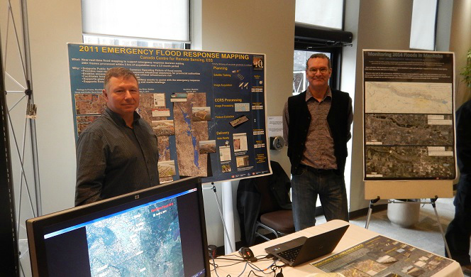
Steven Smith and Vincent Decker of Emergency Geomatics Services
Keep checking in with the GoGeomatics Magazine as we launch our NRCan series on geomatics. We’ll be bringing you stories on the following:
- The new Inuvik Satellite Station
- CCOG
- Emergency Geomatics Services
- Big data in Canada
- NRCan’s 2014 Country Report to the United Nations
- The Federal Geospatial Platform


Be the first to comment