
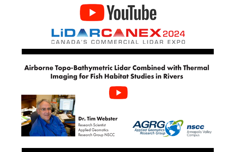
Airborne Topo-Bathymetric Lidar Combined with Thermal Imaging for Fish Habitat Studies in Rivers from LiDAR CANEX 2024
Dr. Timothy Webster, a Research Scientist at the Applied Geomatics Research Group (AGRG) based at Nova Scotia Community College’s Annapolis…

OGC Canada Forum returns to Montreal on June 17 and 18, 2024
MONTREAL, CANADA—The OGC Canada Forum is set to return as part of the 129th OGC Member Meetings in Montreal on…

SUMSF 2024 Call for Sponsors, Speakers & Workshops
The Subsurface Utility Mapping Strategy Forum (SUMSF) 2024 is scheduled for June 25-26, 2024. This online event has free registration,…
Geospatial Digest for Earth Day April 22nd, 2024
Water Pollution in Ireland Esri Ireland has teamed up with the Dublin Urban Rivers LIFE (DURL) Project to tackle water…

Future technological trends: A Canadian Perspective from LiDAR CANEX 2024
At LiDAR CANEX 2024, a LiDAR panel of experts from different sectors discussed the latest and upcoming trends and services…

International Geospatial Digest for April 15th 2024
US Warns Allies of China’s Military Assistance to Russia The US has issued warnings to its allies about China’s provision…

Take a sneak peek at the early attendees for GeoIgnite 2024!
Don’t Miss Out on GeoIgnite 2024: Meet the Early Attendees Before Prices Rise! Hello, Canadian Geomatics community! The anticipation for…

Water in Focus: Hydrospatial Advances at Canada’s National Geomatics Expo
Join us as we chart the course for a resilient water future, leveraging the power of geomatics and fostering collaboration…

LiDAR for Post Wildfire Mapping Applications at Lidar CANEX 2024
Kenneth Ang, Project Manager and geomatics Lead at Terra Remote Sensing, recently presented at Lidar CANEX 2024 on LiDAR for…

How the CanSLAM can: Building Canada’s National SLAM Circuit at Lidar CANEX 2024
In a dynamic and informative session at LiDAR CANEX 2024, Alex Hill-Stosky shed light on the groundbreaking initiative known as…

Exploring Geospatial AI: Understanding and Preventing Deforestation
Global forests are one of our most important resources, not only for the service they provide as the lungs of…

Navigating Canada’s Climate Crisis: Harnessing Earth Observation for Resilience and Adaptation
Year 2023 now ranks as the fourth-worst year for insured losses in Canada, according to Catastrophe Indices and Quantification Inc.…
