
Planning an Enterprise GIS from the Bottom Up
You might be an observant professional in a department that uses GIS. Your organization may be large and have many…

December 14th is the Ottawa CRSS GoGeomatics Christmas Party
Get your sleighbells jingling for the CRSS GoGeomatics Christmas Party! For the fourth year in a row, we’re teaming up…


Operational Use of Remotely Piloted Aircraft System (RPAS) for Geomatics Applications
Recently, I reviewed a report by the Canadian Council of Geomatics on the use of Remotely Piloted Aircraft Systems (RPAS)…

Predicting the Future of the GIS in Canada
Editors note: This article has been jointly written by Bruce McCormack and Gordon Plunkett. Bios can be found at the…
Contrasting: GIS & Geomatics Education in Canada and China
I have studied Geographic Information Systems (GIS) in both Canada and China. Last summer I completed my master in geography at…

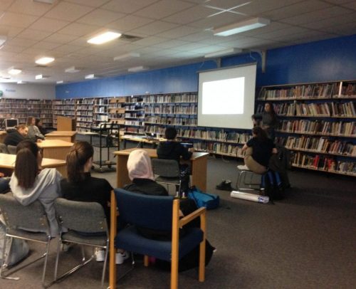
A Tale of Two Communities
After the Atlantic Canadian Association of Geographers (CAG) workshop: Geography Education (previous blog: http://wp.me/p2586i-4xP), I have a renewed enthusiasm for…

Geospatial Development: Enhancing GIS curricula with programming skills at UNB
Geospatial information science and technology (GIS&T) has rapidly evolved over the last few decades. This evolution has created a highly…

Easy Access to Data: The CGDI Initiative
The Canadian Geospatial Data Infrastructure (CGDI) is an initiative of Natural Resources Canada that began in 2001. The CGDI does…

Call to Action: Network of Concerned Geographers
Our growing network – the Network of Concerned Geographers – is pressuring the American Association of Geographers to study and…

what3words adopted by six national mapping agencies
what3words, the multi-award winning location reference system, has today announced that six national mapping agencies have adopted 3-word addresses. Used…

Ten Online GIS Programs in Canada
After completing an undergraduate degree in 2015, (Geography and Environmental Studies at the University of Toronto) I needed to determine…
