
June is National Indigenous History Month. 

This month gives Canadians the opportunity to honour the resilience, stories, history and achievements of Indigenous peoples. We can learn and explore our collective past, as well as the ongoing impacts.
Parks Canada has a system of National Heritage Sites to recognize and honour past and current Indigenous contributions.
On the Government of Canada site, you will find links to learning resources, images for social media, reconciliation and more.
Visit this site to read and discover more.
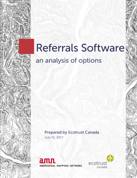
Aboriginal Mapping Network: Analysis of Options
 The Aboriginal Mapping Network, or AMN, was created by three organizations, the Gitxsan Nation, the Ahousat Nation and Ecotrust Canada, along with discussions with the Kwakiutl and Haisla Nations.
The website supports indigenous people facing issues with resource development, treaty negotiations, and land claims. GIS mapping, traditional use studies and other information systems assist users of the AMN.
A report published in 2017, called Referrals Software: an Analysis of Options, provides up-to-date information regarding the software tools available to First Nation Groups.
Several referral management software tools and solutions have been developed to help First Nation groups meet the challenge of knowing what is available. The report brings information into one accessible document. See report here.
Aboriginal Lands of Canada Legislative Boundaries Defined
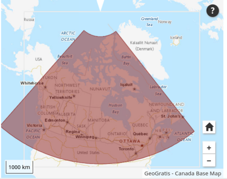 The Government of Canada has a web service that not only discusses legislative boundaries of Indian Reserves, but also Land Claim Settlement Lands and Indian Lands. It is called the Aboriginal Lands of Canada Legislative Boundaries web service.
The web page discusses the many different definitions and meanings of various terms used regarding Aboriginal Lands of Canada Legislative Boundaries and more.
Data from the former Geobase-Aboriginal Lands is available to download. There may be some differences between the web service and the downloadable content, but both have the same underlying data. Currently, work is being done to match the two data products.
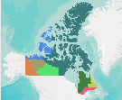
ArcGIS Online: First Nations Settled and Unsettled Land Claims in Canada
 ArcGIS Online is a cloud-based software that can create and share interactive maps. This software allows you to enhance details to discover new perspectives, as you can zoom, search and interact with data on the map. Organizations can work in collaboration, sharing insights and information with the world.
One such map is the First Nations Settled and Unsettled Land Claims in Canada. It covers each province and territory. The map shows settled and unsettled land claims, some with no known boundaries, overlapping claims, and settlements.
Carleton University’s MacOdrum Library: Indigenous and First Nations Cartographic Resources
Carleton University is home to the MacOdrum Library. Here, you can find indigenous and First Nations Cartographic Services. The services include print, scanned and online maps of First Nations and Indigenous Peoples, as well as Culture in Canada, North America and around the world.
Scans of these maps are available to university students, faculty and staff.
There are numerous services available, from print maps, historical cartographic resources, treaties and land claims to environmental, decolonizing maps, websites and more.
Aboriginal Mapping at The University of BC
![]()
![]() The library at the University of British Columbia has an informative section of Aboriginal maps and mapping. Among the information available, you will find language maps, population maps, treaty maps, residential school maps and more.
The library at the University of British Columbia has an informative section of Aboriginal maps and mapping. Among the information available, you will find language maps, population maps, treaty maps, residential school maps and more.
There are links to several helpful and information-packed, resourceful websites, such as the Aboriginal Mapping Network, Native Geography, Indigenous Mapping Icons, Native-Land.ca and so many more.
UBC has several resources, including a catalog to help you when you are searching for Aboriginal maps and mapping.
Improving Relationships with Native-Land.ca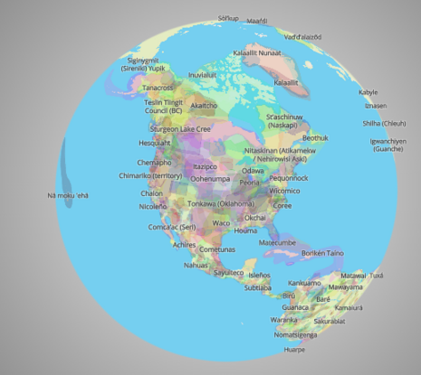

Native-Land.ca is an app to help map the lands, treaties, territories and languages of Indigenous peoples. Native-Land wants to use educational resources to encourage conversations about Indigenous ways of knowing, settler-Indigenous relations, and the history of colonialism.
Native-Land wants to create spaces for non-Indigenous people to come and learn about the lands where they live, the history of the lands, the Indigenous peoples, and how to be an active part of the future together.
There is also a section for a blog, contributions, media coverage and resources.
Creating a Shared Future with The Firelight Group
 The Firelight Group provides services tailored to support the rights and interests of local communities and Indigenous peoples in Canada and beyond. Sixty-Five percent of the group is First Nation-owned. There are offices in Vancouver, Victoria and Edmonton.
The Firelight Group works with clients by providing technical tools, high-quality research and analysis so we can all respectfully share a future together. The group believes in the principles of quality, respect, fairness and social return.


Be the first to comment