SaveTheMap Campaign: “to encourage citizens and startups to use geospatial data in everyday lives and create businesses that serve India”
Interesting (geospatial) times in India lately… On May 4th, 2016, just three months after the Telecom Regulatory Authority of India (TRAI) took a revolutionary decision in favour of Net Neutrality [1], the Ministry of Home Affairs (MHA) submitted the Geospatial Information Regulation Bill (GIRB-2016) [2] inviting citizen feedback until June 4th, 2016. According to the draft, it will become mandatory for an individual and organization to obtain necessary permission from government authority before acquiring, disseminating, publishing or distributing geospatial information of India. The stated goal of this Bill is to ensure the security, sovereignty and integrity of India by regulating the collection and publication of geospatial information pertaining to India.
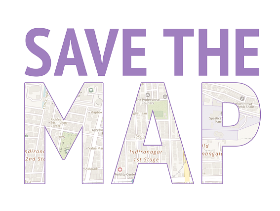
The Geospatial community does not seem to consent to this Bill though. A coordinated reaction has been expressed through the SaveTheMap (STM) campaign [3], launched just a few days after the Bill was submitted. According to them, the Bill in its “present form can seriously affect the economic opportunities in India and the ability of citizens to use maps for recreation, transactions, and information” [3]. They argue that “the Bill is very broad and covers all uses of geospatial data by citizens and companies”. According to them, acquiring the permission from the government authority is a process that may take long and this places barriers in the publication and use of any new map products, such as updated satellite imagery or background layers from companies like Google and OpenStreetMap. In addition, they doubt that the Bill can ensure the security of the country as restricting “Indians or persons in India from accessing maps or satellite imagery of sensitive areas and defense installations” does not prevent those products “to be easily accessible to foreign militaries and terrorists located outside India.”
India’s government has seriously invested in entrepreneurship over the last decade. With policies like Digital India [4], Startup India [5], Smart Cities [6], and Skill India [7], to name a few, India has been transformed into one of the hottest markets in terms of the number of startups in the world. At the same time, the number of people with access to internet and a smartphone at hand is rocketing. If this Bill goes through, the government will have full control how businesses run their map services and how individuals use online maps. If this Bill becomes a law, the free and easy access to geospatial data will be doubtful and obviously the objectives of all the policies listed above cannot be met.
Nothing is final yet, and the Bill is “only a draft proposal before the country” according to the Minister of Home Affairs [8]. It will be interesting to keep an eye on this story during the months to follow and see how India’s government is going to use the public consultation in the shade of the border dispute with Pakistan regarding the state of Jammu and Kashmir [9]. On the flip side, SaveTheMap (STM) campaign [3] looks well prepared to fight for the future of geospatial information in India. The founders of this campaign and all those people that are supporting it seem to have learned a lot from the recent and so successful SaveTheInternet.in web petition [10], one of India’s biggest online protests.
Further Reading
[1] Net neutrality in India: https://en.wikipedia.org/wiki/Net_neutrality_in_India [Visited on May 25, 2016]
[2] Geospatial Information Regulation Bill (GIRB-2016): http://www.prsindia.org/uploads/media//draft/Draft%20Geospatial%20Bill,%202016.pdf [Visited on May 25, 2016]
[3] SaveTheMap (STM) http://savethemap.in/ [Visited on May 25, 2016]
[4] Digital India http://www.digitalindia.gov.in/ [Visited on May 25, 2016]
[5] Startup India http://startupindia.gov.in/ [Visited on May 25, 2016]
[6] India Smart Cities Challenge http://www.smartcitieschallenge.in/ [Visited on May 25, 2016]
[7] Skill India http://skillindia.gov.in/ [Visited on May 25, 2016]
[8] BBC News: India to ban unofficial maps and satellite photos. http://www.bbc.com/news/technology-36276754 [Visited on May 25, 2016]
[9] Dasgupta, A., 2016. Map Policy vs the Politics of Maps. Geospatial World. http://www.geospatialworld.net/map-policy-vs-the-politics-of-maps/ [Visited on May 25, 2016]
[10] SaveTheInternet.in https://en.wikipedia.org/wiki/SaveTheInternet.in [Visited on May 25, 2016]


Be the first to comment