![]()
![]() Due to a foreseeable increase in the demand for UAV acquired aerial imagery in resource management, various firms are already operational and are planning further investments in UAV technology. One such consulting firm implementing UAV technology is Strategic Natural Resource Consultants (SNRC) in British Columbia.
Due to a foreseeable increase in the demand for UAV acquired aerial imagery in resource management, various firms are already operational and are planning further investments in UAV technology. One such consulting firm implementing UAV technology is Strategic Natural Resource Consultants (SNRC) in British Columbia.
I recently had the opportunity to interview Steve Platt at SNRC’s Cambell River office. The aim of the interview was to assess the current status of UAV technology in an operational sense outside of the academic world. It was discovered that SNRC are largely in part influenced from current scientific research and are implementing cutting edge technologies in their daily work in order to develop more efficient management practices and deliver affordable high quality datasets to clients.
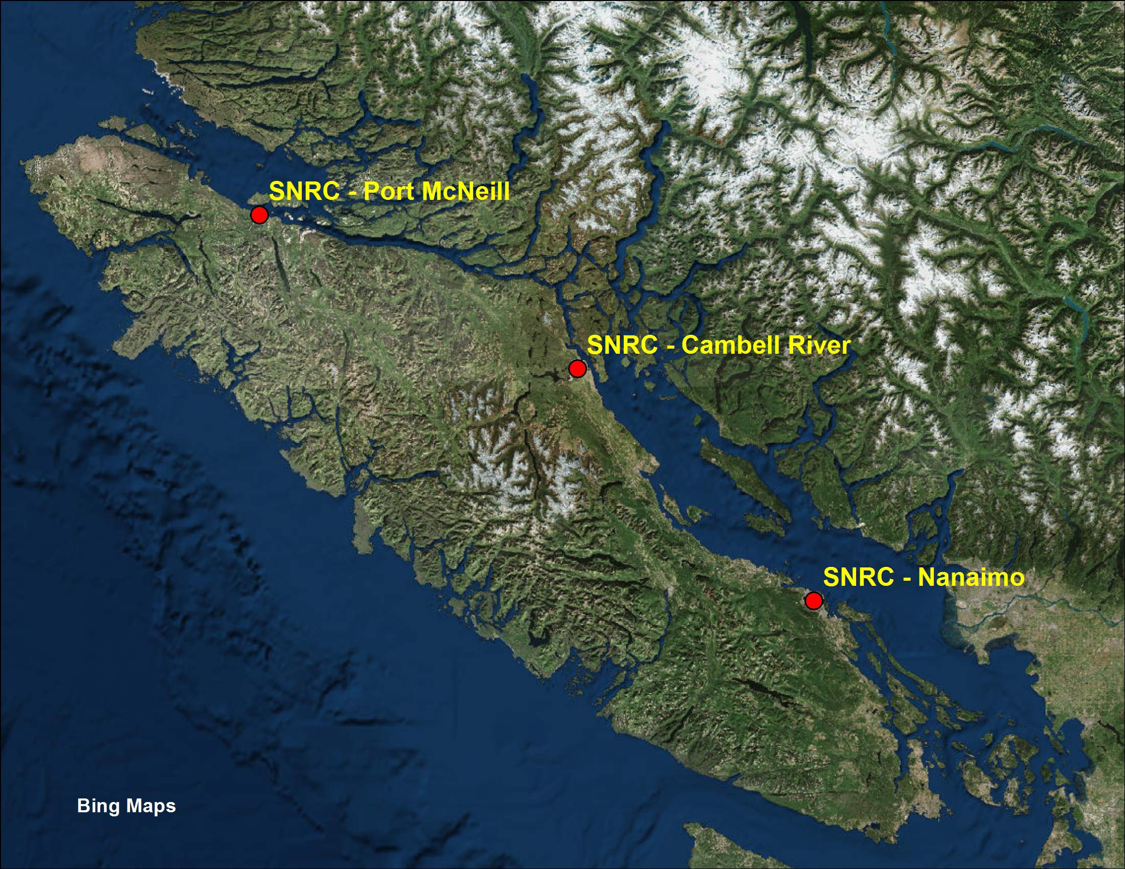
A medium sized natural resource and land management consulting firm, SNRC has three offices on Vancouver Island (Port McNeil, Cambell River, and Nanaimo) and provide a variety of consulting services ranging from timber development and engineering, forestland management, timber valuation, incident management, environment and biology, wilderness recreation management as well as various GIS and remote sensing services. With a wide range of staff specializing in forestry, scientific research, project and business management, as well as geomatics, SNRC has the ability to effectively carry out complex project management contracts using entirely internal resources.
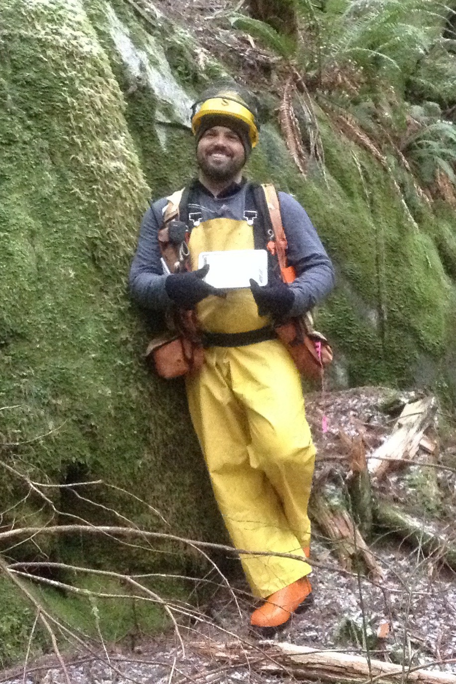 Steve Platt began working at SNRC in 2006 and is currently the Remote Sensing Program Manager at SNRC’s Cambell River office. Steve’s main duties are in leading the development of LiDAR and UAV-based aerial imagery for the implementation in operational activities and to insure that remote sensing investments are used as efficiently as possible. He is a strong advocate in the advancement of new technologies such as LiDAR, UAVs, multispectral imagery and GNSS for use in natural resource management. With 8 years’ of previous experience as a Forest Development Technician, as well as an advanced diploma in GIS, Steve has the unique ability to connect new technologies with daily work in the field.
Through the interview and various other research I came to the conclusion that UAV technology is highly valued on an operational level in western Canada and will undoubtedly be an integral part of many firms in the near future. UAV-based aerial imagery is being used for a wide variety of applications in the forestry sector ranging from operations and forest fire management with up-to-date multispectral orthomosaics and thermal imagery, to tree crown measurement and road construction with the aid of image-based point clouds. A popular topic these days is in the use of low-cost image-based point clouds to geometrically and radiometrically (e.g. RGB) update and enhance existing LiDAR datasets.
The process of incorporating UAV technology into a business is not as simple as just purchasing a UAV as there are various technological aspects that are associated with Unmanned Aerial Systems (UASs). Some UASs are highly customizable with various sensor payload possibilities and require a certain level of knowledge and expertise to manage. Other systems are purchased ready-to-go with interchangeable gimbals, built in sensors, software, and enhanced safety features (redundancy) however are obtained at a much higher cost. Additionally, a properly trained pilot is required to safely operate and maintain the UAV as well as configure senor payloads.
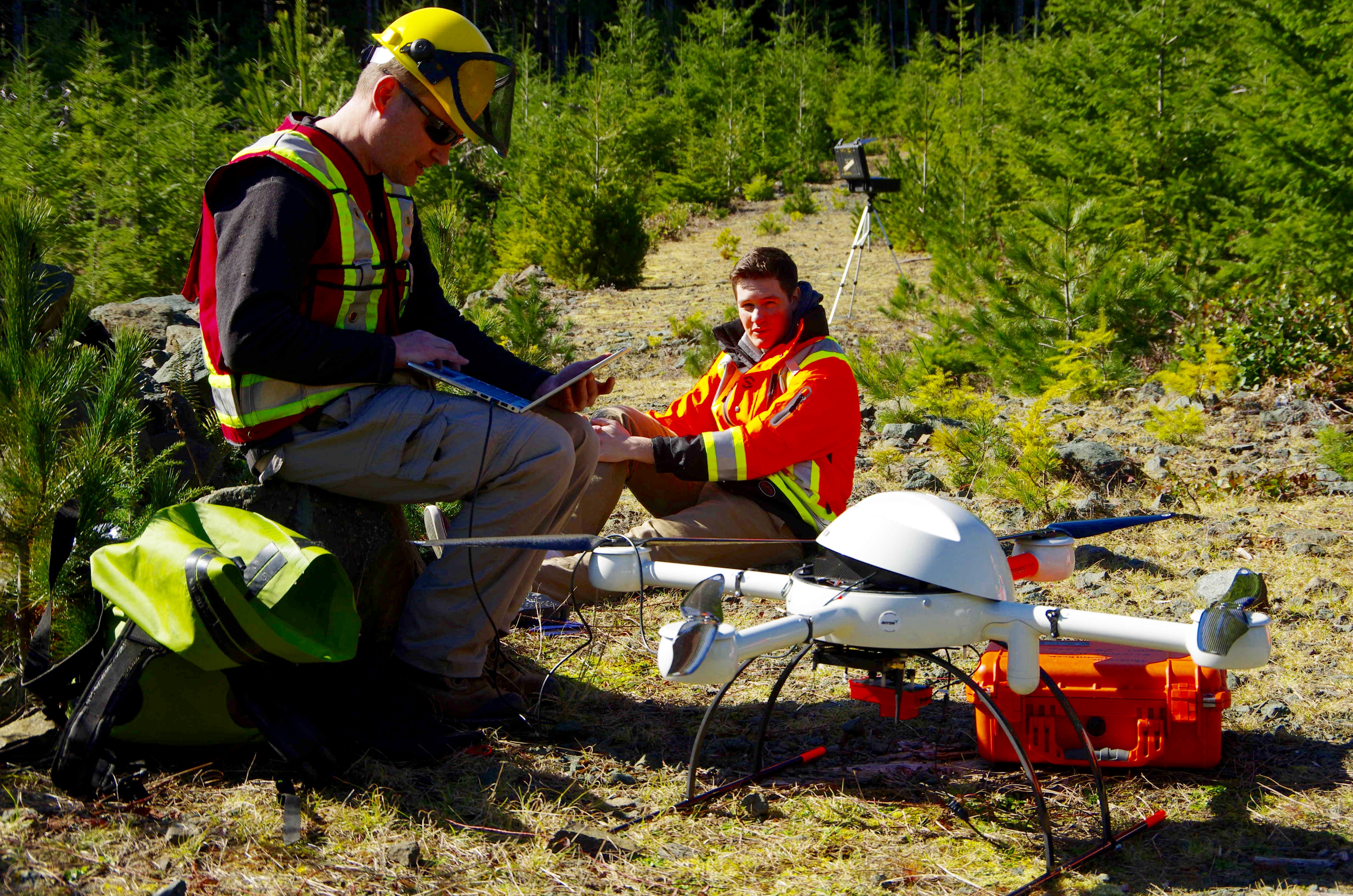
An assortment of software is also required to process and analyze multispectral imagery and point clouds (image-based and LiDAR). Differential GPS units are essential in establishing ground control points (GCPs) to aid in the georeferencing of imagery. Furthermore, flight planning software is needed to create flight path grids to insure adequate aerial imagery coverage and efficiency during field campaigns.
Varying workflow strategies for aerial data collection and processing are implemented depending on available company resources in accordance with the data and analysis needs of the client. Larger companies accomplish workflows internally while others work in collaboration with each other in order to maximize skillsets, software, and equipment at hand.
In reference to SNRC, workflows are carried out entirely in-house as they possess a large GIS department implementing various LiDAR tools as well as photogrammetry software (Pix4D) and recently put two forest technologist and an incident management firefighter through UAV pilot training. SNRC is currently working with a custom built Octocopter equipped with RGB, NIR, and TIR sensors and recently acquired a MicroDrone (md4-1000) UAS.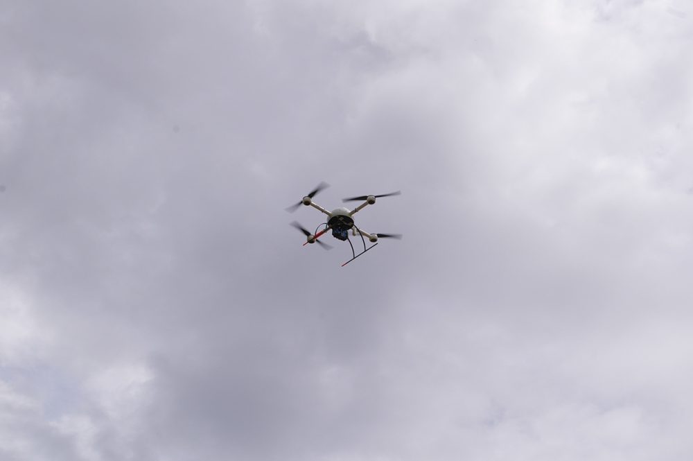
Strategic Natural Resource Consultants is a fine example of a consulting firm that is connecting traditional resource management practices with advancing technologies. Technological advances such as UAV integration are proving valuable in enhanced resource management practices in terms of information availability and accuracy as well as cost-effectiveness, and will more than likely have a substantial impact on the resource industry in the years to come.
For more information on the work Steve Platt is doing at SNRC as well as the operational aspects of LiDAR check out this informative Webinar.
References
Platt, Steve: Remote Sensing Manager – Strategic Natural Resource Consultants, Cambell River, BC, Interview conducted on Dec. 14th, 2015.


Be the first to comment