We believe that introducing young people to maps and imagery has always been an important part of their education and would like to introduce perhaps the most important advancement in digital mapping since Google Maps and Google Earth were released back in the early 2000’s. At that time there was a great fanfare that maps, and geospatial data were now ‘mainstream’ and available to all. Location-based services were promoted the next new thing taking traditional geospatial and GIS out from its technology siloes and making such data available to all.
Moving forward 17 years, there are of the order of a million plus GIS users in the world (mostly Esri), and yet around a billion people go to Google Maps each month. The dilemma, or the opportunity, is that a large number don’t go to Google Maps for the prime business application, i.e. navigation, but instead are actually interested in the background maps themselves for a whole variety of possible reasons.
Having discovered Google is not ‘fit for purpose’ where do we go? Those of us in the industry are I think well-aware of the massive oversupply of geo-data and are watching with interest as more and more money is invested in yet more satellites and sensors, almost it seems oblivious to the problems of distribution to a largely uneducated market. How do we solve this distribution/consumption issue when most users are not technical to the level of using a GIS, even if directed to a free version such as QGIS, and yet they are perfectly capable of using Google Maps and even Google Earth? How do we get geospatial data into the mainstream for this huge potential market?
In this new digital age, what happened to the simple Atlas, and how come maps and imagery have not progressed as a mainstream media type like other media such as Files, Pictures, Videos, Music etc? Since 2000 we have seen huge advances in the way we store, manage, access and consume these other media types as they have exploited changes in technology and in particular the internet. Companies such as Dropbox, Shutterstock, YouTube and Spotify have changed the whole landscape, and even the business models, of their respective media types. And what has happened to Maps and imagery in the same period? Of course, Esri have their own Living Atlas for their own community, but what has happened for everyone else? Not much..Until now
‘Not much’ maybe a little provocative, as some will cite the absolute flood of WMS map and image data sources that now exists on the internet. The problem is however that making data available in such an internet-consumable form has not solved the fundamental problem of discoverability and access to so many siloed sources for the ‘average’ person who is not a GIS ‘Professional’.
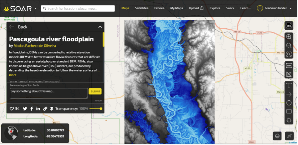
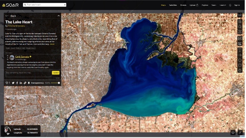
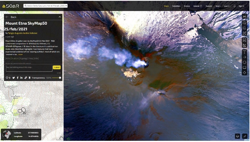
Soar.Earth is a new cloud-based, digital atlas of all the world’s maps and imagery, including satellite imagery, aerial imagery, remote sensing data, drone images, orthomosaics, community content, and more. Soar.Earth recognize that there has been a big problem in the way mapping data is acquired, stored and shared with the geospatial and wider industries. Accessing map and imagery data is expensive, complicated and time-consuming and many of the services only deal with a single type of map or image, creating many, many siloes. According to a report by Oracle, about 80% of all mapping content can be found only through direct channels. These channels often require a high degree of specialist knowledge to use.
 Soar.Earth is changing this situation by opening up the world of maps and aerial imagery data to the world, creating a single hub for this imagery that’s free, easy to use, and requires no specialist software or training. The mission is to create the world’s largest digital atlas, built on maps and imagery from individuals, organizations, and the broader community and to make these maps and imagery usable and accessible by anyone in the world. The key here is the community aspect of the platform and the concept of the community creating the content, along with the ability to treat maps and imagery very much as a ‘normal’ media type fully integrated with the popular social media platforms for easy distribution.
A key feature that makes this product stand out is its user-friendly interface and links into social media. The platform operates in a secured cloud environment and most of the content on the platform is free. The content that is available for purchase uses a quick click-and-collect process, with the most competitive prices in the industry. It also drastically reduces timely and frustrating searches across hundreds of silos and provides enormous breadth and volume of content in one place.

For businesses and users with security concerns, Soar.Earth offers a private atlas option, allowing you to manage and share your personal maps and imagery without sharing them with the wider community. It helps manage risk and conform to the often-strict licensing terms associated with Earth observation imagery and additional viewing software. It also allows collaboration across and between offices and project teams using a comment, annotation, and notification system called the ‘Visual Collaboration Tool’. This allows people to draw on, caption, and comment on a map or image to add information and collaborate with others in a common operating picture environment.
As the geospatial industry grows and more mapping and imagery data becomes available with evolving technology, Soar.Earth will provide the home for all of it. Much of the valuable data held in mapping content today still remains unrecognized and unutilised. Soar.Earth wants to unlock this data for users, for whom it could hold significant commercial, research, or consumer application value. The platform is constantly upgrading its technology and functionality to create more value and opportunities for its users.

This single point of truth for mapping and imagery content, is something that’s never been attempted before in the consumer world. Soar.Earth is the first-of-its-kind product that provides an online platform where anyone can access and interact with a large, global atlas of uploaded maps and images, share and upload maps, and find free and high-resolution paid satellite and drone imagery.


Be the first to comment