
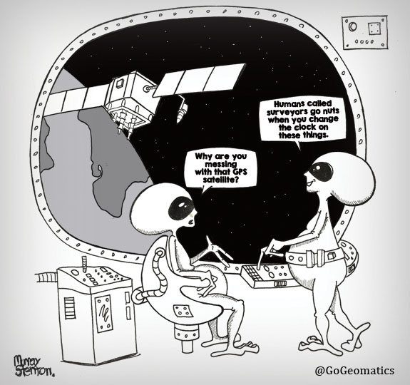
Geodesy moves into everyday workflows Cool Cities Lab turn urban heat data into real decisions The limits of satellite flood monitoring Using geospatial data to guide emergency blood deployment Brazil and FAO simplify access to […]
Canada launches first defence industrial strategy Quebec’s plan for digital sovereignty Dynamic Map Platform’s coast-to-coast coverage of Canadian roads Natural Resources Canada adds to existing flood event datasets NRCan-TAP: A partnership for building sustainable communities […]
As the U.S. proposes deep cuts to NASA and NOAA, climate scientists warn of lasting damage to the global systems we rely on to track a changing planet. In 1972, the U.S. launched Landsat, the […]
Be the first to comment