||||
Technology

Drones: Now and in the Future

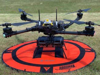
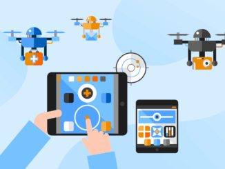
The drone industry is rapidly growing and will continue to expand in the future. Various applications, such as commercial delivery, mapping, and search and rescue, can be finished easier with unmanned aerial vehicle (UAV) operations. […]

||
Community

Canadian Geospatial Briefing for November 23rd: Mapping corridors for drones; RAMMS technology to map Lake Huron; Indigenous mapping workshop; InDro Robotics working with Rogers & UBC; 5th Pan-Canadian SDI Summit

Canadian startup AirMatrix maps air corridors for drones AirMatrix is working on mapping out corridors in the sky to create drone “highways”. Manned and unmanned air traffic are becoming more common and creating a model […]