
atlas
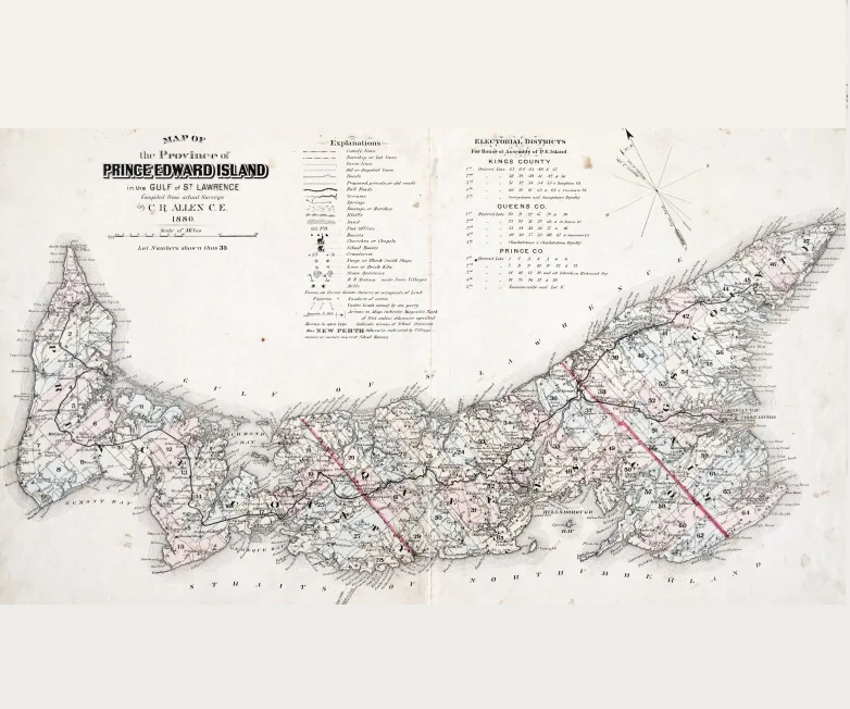
Canadian Geospatial Briefing May 2nd: 1. RCGS releases map in solidarity with Ukraine. 2. YVR launches its digital twin 3. Kraken’s Robotics as a Service (RaaS) contract with the Royal Canadian Navy. 4. 19th-century atlas of PEI
RCGS (Royal Canadian Geographical Society) releases a new map in solidarity with Ukraine. The Royal Canadian Geographical Society produced this…
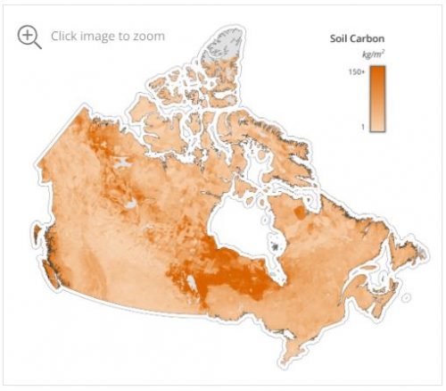
Canadian Geospatial Briefing Dec 13: 1. Mobilizing Data in Medicine; 2. Carbon Sequestration in Mushkegowuk Peatlands; 3. New High-Resolution DEMs; 4. Google Maps Holiday Trends; 5. Maps of Pre-colonial Canada; 6. Ottawa Maps Equitable COVID-19 Vaccine Access; 7. 2021 Atlas of Canada World Map
Cloud DX is Using a Virtual Care Platform to Help Patients Get Better Sooner The Kitchener-based startup has partnered with…
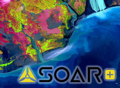
Share your Maps & Data: Soar.Earth jazzes up free access to satellite content every day
Geared towards the general public, Soar.Earth presents an online platform that resembles a digital, free-of-charge atlas. Pooling in from crowd-sourced…
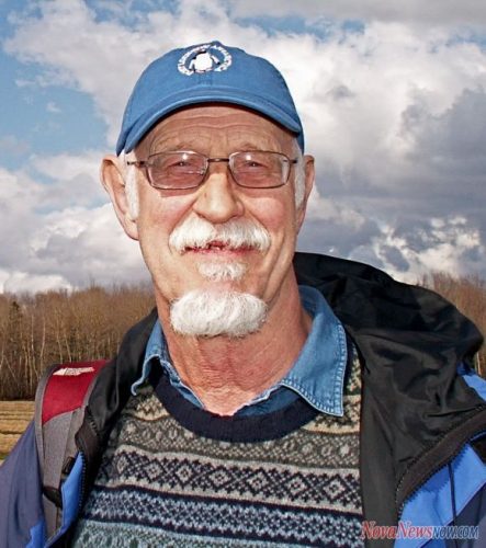
Southwest Nova Biosphere Reserve Interactive Science Atlas
Last week, I was forwarded a YouTube video produced by Ian Manning. Ian works at the Applied Geomatics Research Group…

My COGS GIS Education, Part II
In my first article, I introduced the how and why I chose to attend COGS from the fall of 2014…

RAC launches online Canadian Rail Atlas
One hundred and fifty years after Confederation launched the idea of a railway that would unite the country, the Railway…
Literary Peregrinations: Geographers as Explorers
While I was reading Andrea Wulf’s “The Invention of Nature. Alexander von Humboldt’s New World”. I noted a comment on…
Countdown to Launch: DigitalGlobe’s WorldView-4 Earth Imaging Satellite
Final preparations are underway at Lockheed Martin to ship DigitalGlobe’s WorldView-4 earth imaging satellite to Vandenberg Air Force Base for…
JMap provides instant access to all of the Canadian railway network’s geospatial data
K2 Geospatial, a leading geospatial software company and the editor of JMap, is pleased to announce the creation of the…
A Shared Vision
Every year, a small team of Esri staff come to COGS to recruit new talent. As part of the interview…
East View Secures New Partnership Agreement with Valtus
MINNEAPOLIS – March 1, 2016 – East View Geospatial is excited to announce an agreement with Valtus Imagery Services, part of…
The Real Thing: Robert Maher Examines the Book “The Real Thing” by Briony Penn
Over Christmas, I had the opportunity to go ‘off island’. One of the pleasures of visiting Victoria, British Columbia is…
