
autocad

Plexscape and Airbus join forces to offer the best satellite imagery to the AEC industry
Following a partnership between Plexscape and Airbus, engineers using AutoCAD can now have easy and fast access to OneAtlas, the Airbus’ geospatial digital…

Plex.Earth Timeviews™ empowers AEC professionals with the latest satellite imagery within AutoCAD
Plexscape, developers of Plex.Earth®, one of the most popular tools for AutoCAD for the acceleration of architectural, engineering and construction…
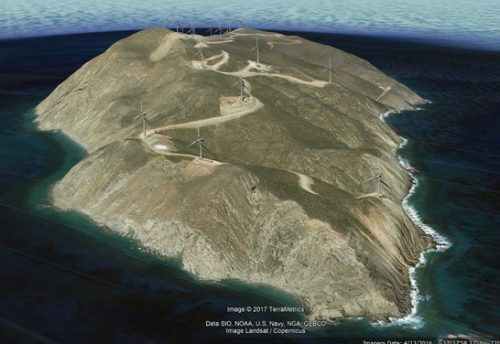
Transoft Solutions and Plexscape partnership offers the most realistic 3D vehicle representation on Google Earth
Transoft Solutions Inc., a global leader in transportation engineering design and analysis software, has partnered with Plexscape, developers of Plex.Earth®,…

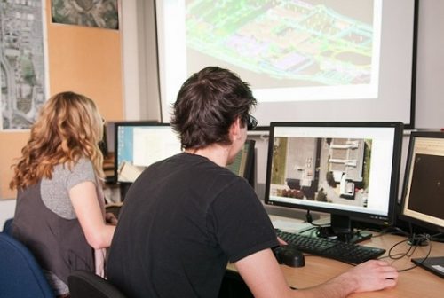
My COGS GIS Education, Part II
In my first article, I introduced the how and why I chose to attend COGS from the fall of 2014…
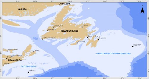
Grand Banks to the Gulf of Mexico: My Canadian Geomatics Career
I often contemplate what it would have been like working at the same job for an entire career. Mind you,…

The Art of Being a Cadastral Surveyor: Key abilities every surveyor needs
The Art of Being a Cadastral Surveyor: The key abilities every surveyor needs There is an art to being a…

Become a BCIT GIS Student Project / Practicum Sponsor
The BCIT GIS department has been graduating students for 25+ years. Our students come from BC, but as well, across…
East View Secures New Partnership Agreement with Valtus
MINNEAPOLIS – March 1, 2016 – East View Geospatial is excited to announce an agreement with Valtus Imagery Services, part of…
June Seo: Geomatics Engineering Student at NAIT & GoGeomatics Edmonton Group Leader
GoGeomatics Canada is pleased to introduce June Seo to the community. She is one of the great new group leaders…

Interview: Canadian Cartographer in Australia
GoGeomatics has reached all the way across the world to Australia to interview our next guest. Today we have a discussion with Jennifer Johnston whom has taken the time to talk about some of her Cartography experiences and what she thinks about the Geomatics industry.
BCIT Program Has the GIS Talent You Need
The BCIT GIS department has been graduating students for 25+ years. Our students come from BC, but as well, across…
Evaluation of the Service New Brunswick Geographic Data & Maps Section
Service New Brunswick (SNB) is serving up geospatial data to the community so lets have look at what they are…
